Well, I needed to do 2 days of posts this evening and I am getting sleepy. I just posted Day 12, a day late, and now I am going to rush through Day 13, because I am tired and it was uneventful, anyway.
However, TOMORROW may be one of our prettier days. As usual, with our pretty days, we will have lots of climbs and descents. We are entering the North York Moors National Park tomorrow. We may even catch our first glimpse of the North Sea!
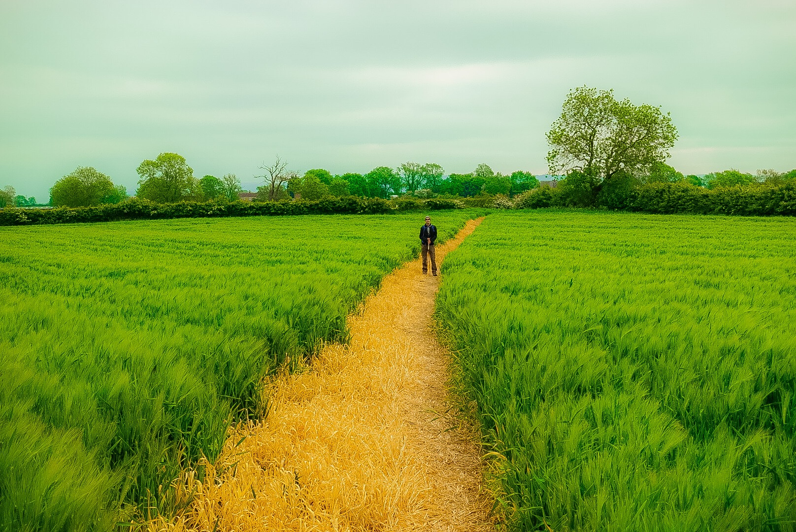
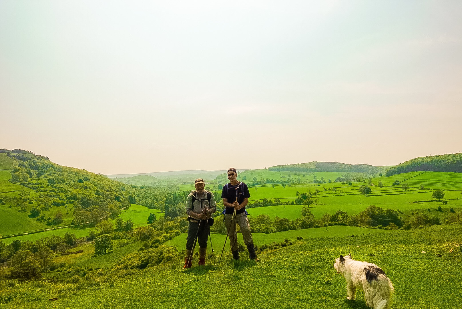
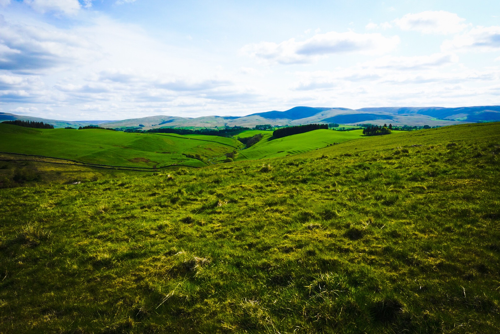
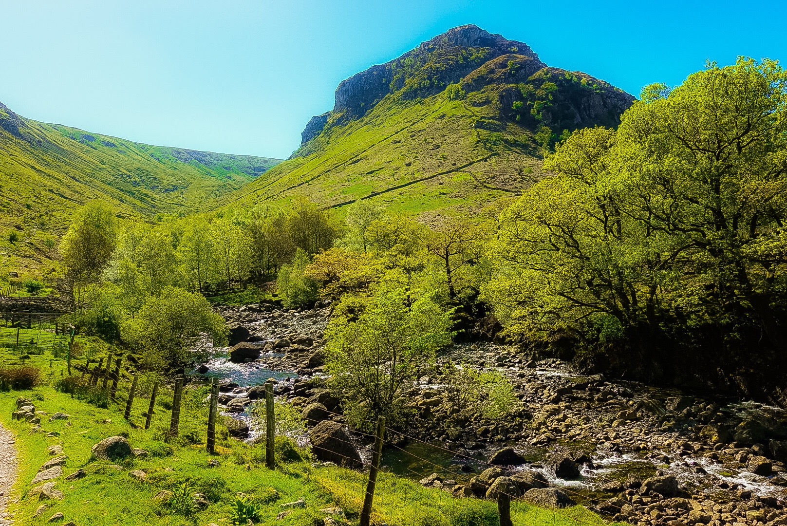
In the Distance, You Can See the Hills of the North York Moors!
We have about a 50 miles to go now. Without any wrong turns, the overall length of our walk at the end should be between 200 and 210 miles. Joel will give me closer numbers in the next day or two. However, we can say with certainty that we are now 3/4 of the way there!
So, although it could be a short evening tomorrow – it is a long day with a lot of ups and downs – I should have nice pictures from tomorrow’s walk.
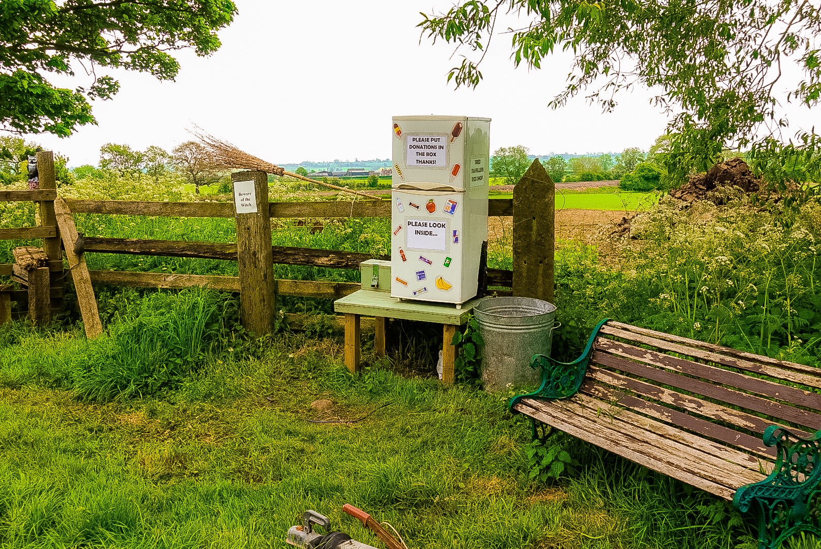
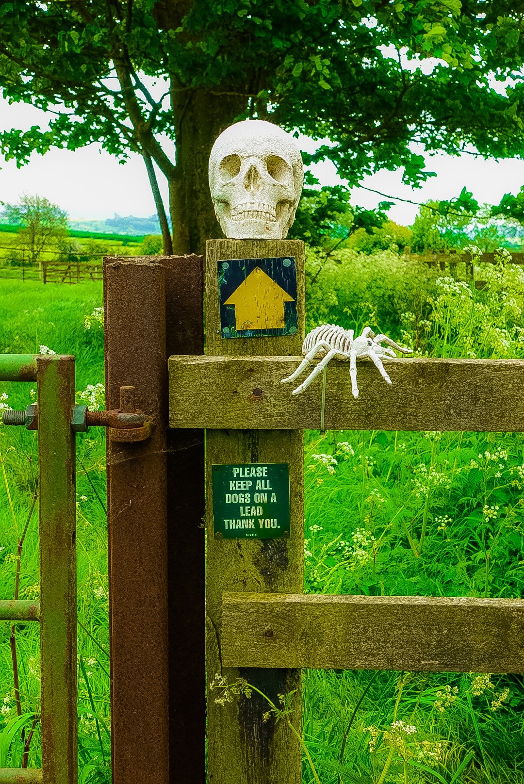
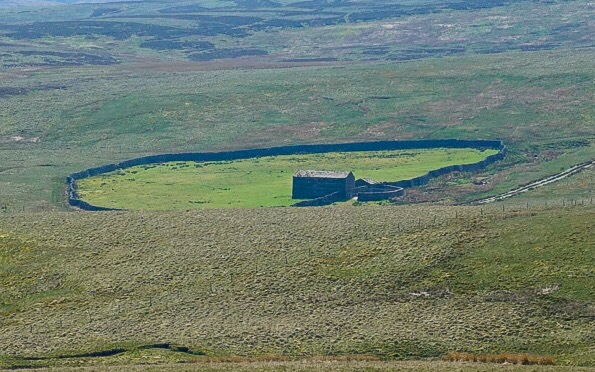
A Farm with a Sense of HumorSatanic Farm on the Route
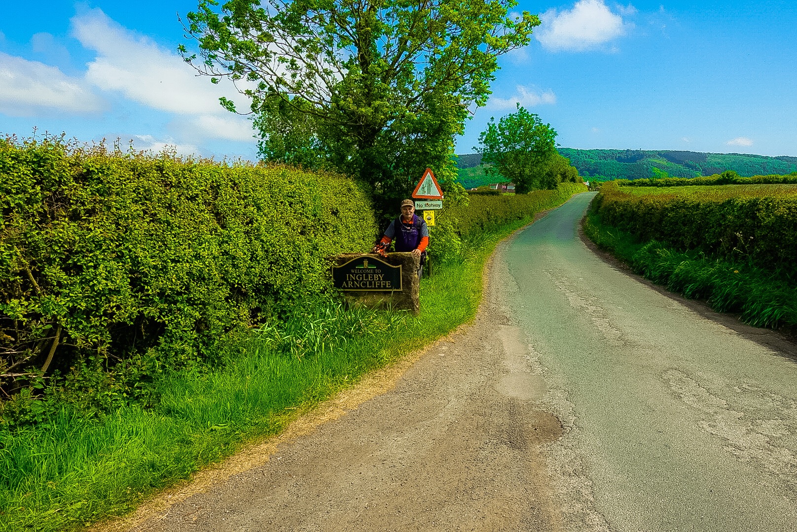
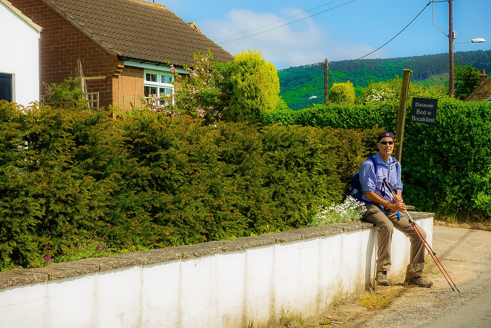
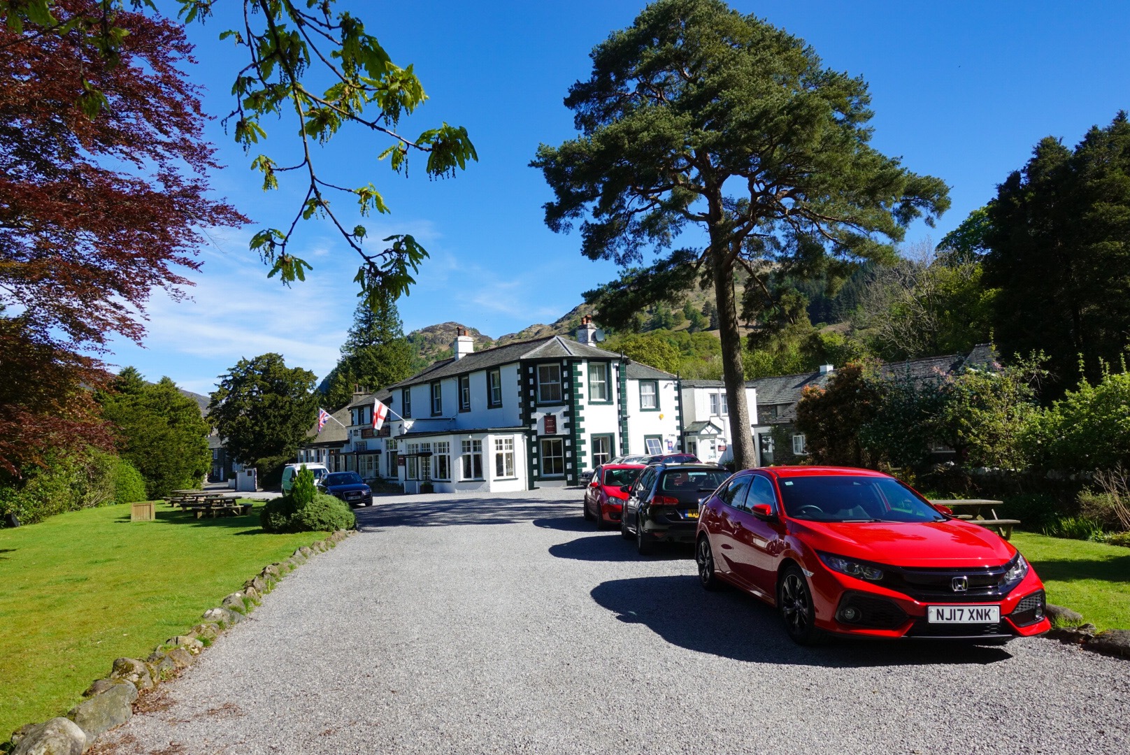
We arrived fairly early at our B&B, a very nice one, in Ingleby Ancliffe. Now, I need to sleep for tomorrow. To finish up, I will post a picture of me at the welcome sign for the village and another of Joel at our B&B.
I was writing this post last night, sitting on the bed. Joel told me, when he came out of the bathroom and went to bed, that I was still at it. What he and I didn‘t know then was that I wasn‘t working on the blog at that moment. I was sitting up, propped by some pillows, and sound asleep. Sometime after that, I woke up and looked at my unfinished post. As hard as I tried, for the next 30 seconds, I could not carry on. I put it aside and went back to sleep. So, nothing got posted yesterday.
Now, I have to finish 2 days of posts! It is the end of Day 13, but I will go back to Day 12 and finish it.
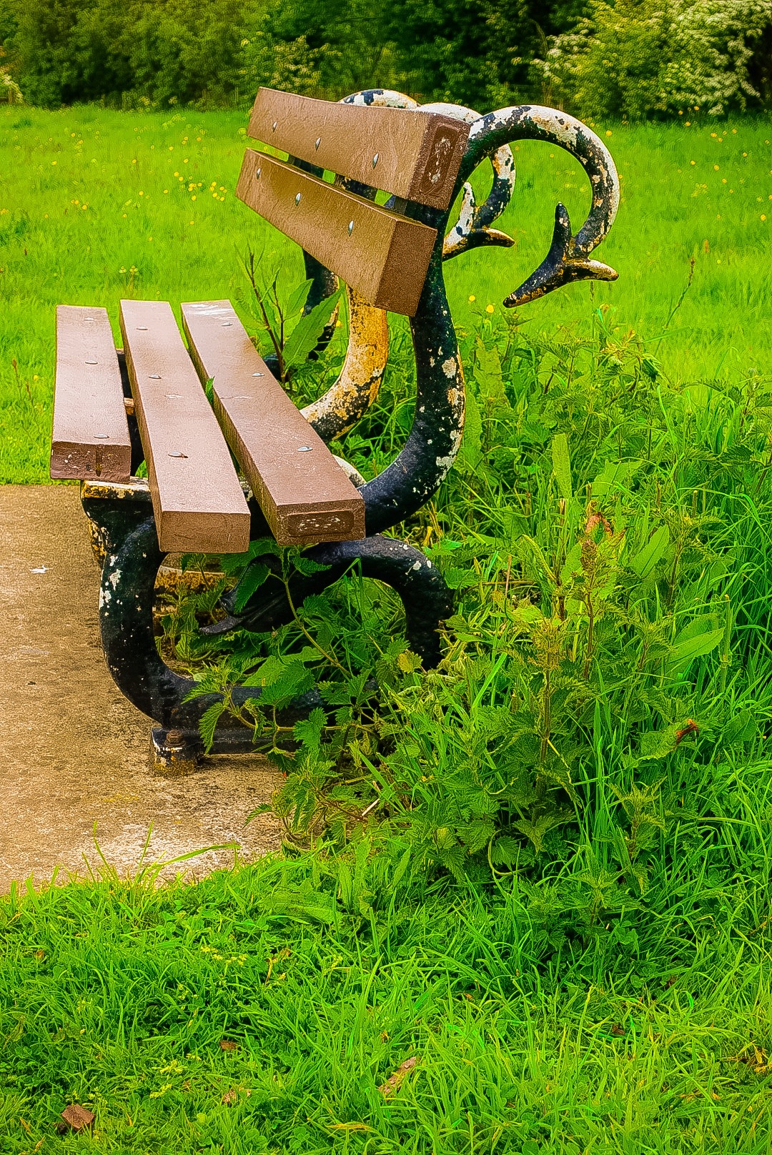
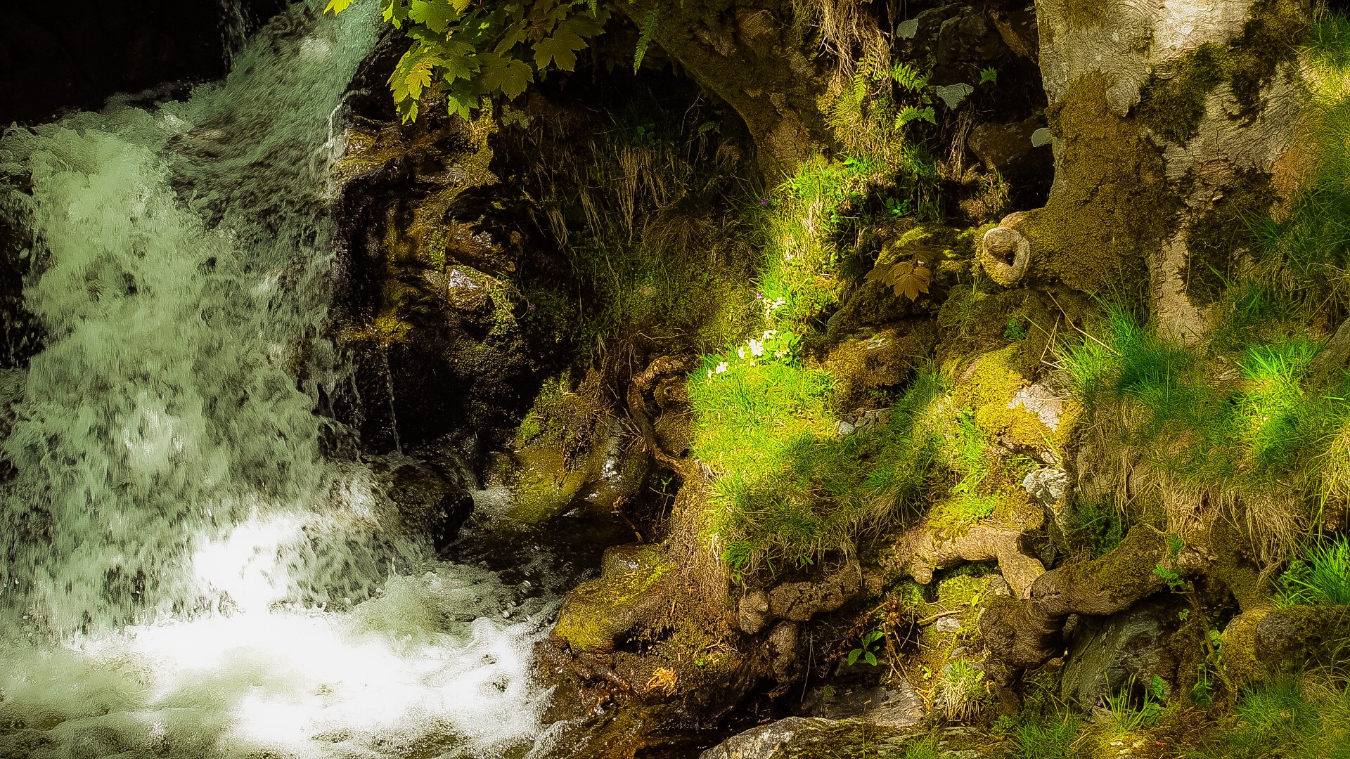
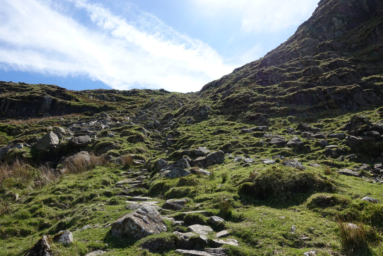
Serpentine Bench
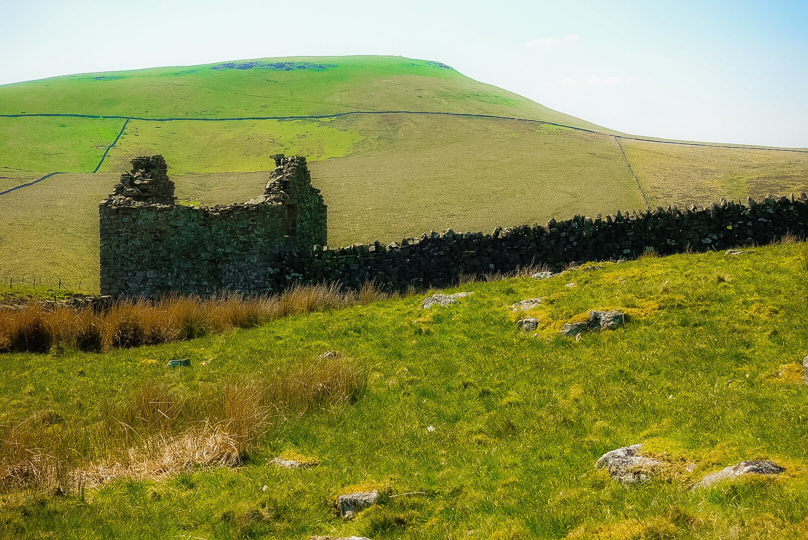
But, anyway, Wainwright did not particularly like this part of the walk he created. He said that it was fitting that, at approximately 110 feet above sea level, it is the lowest point on the walk, except the coastlines at either end.
Wainwright also lost little love for Danby Wiske, our overnight at the end of Day 12, writing it off as completely without anything worth describing. Without my wanting to offend anyone from these parts, Wainwright was not far off, and, while I might write more about Day 12, Day 13, following this, I will hardly spend time with at all.
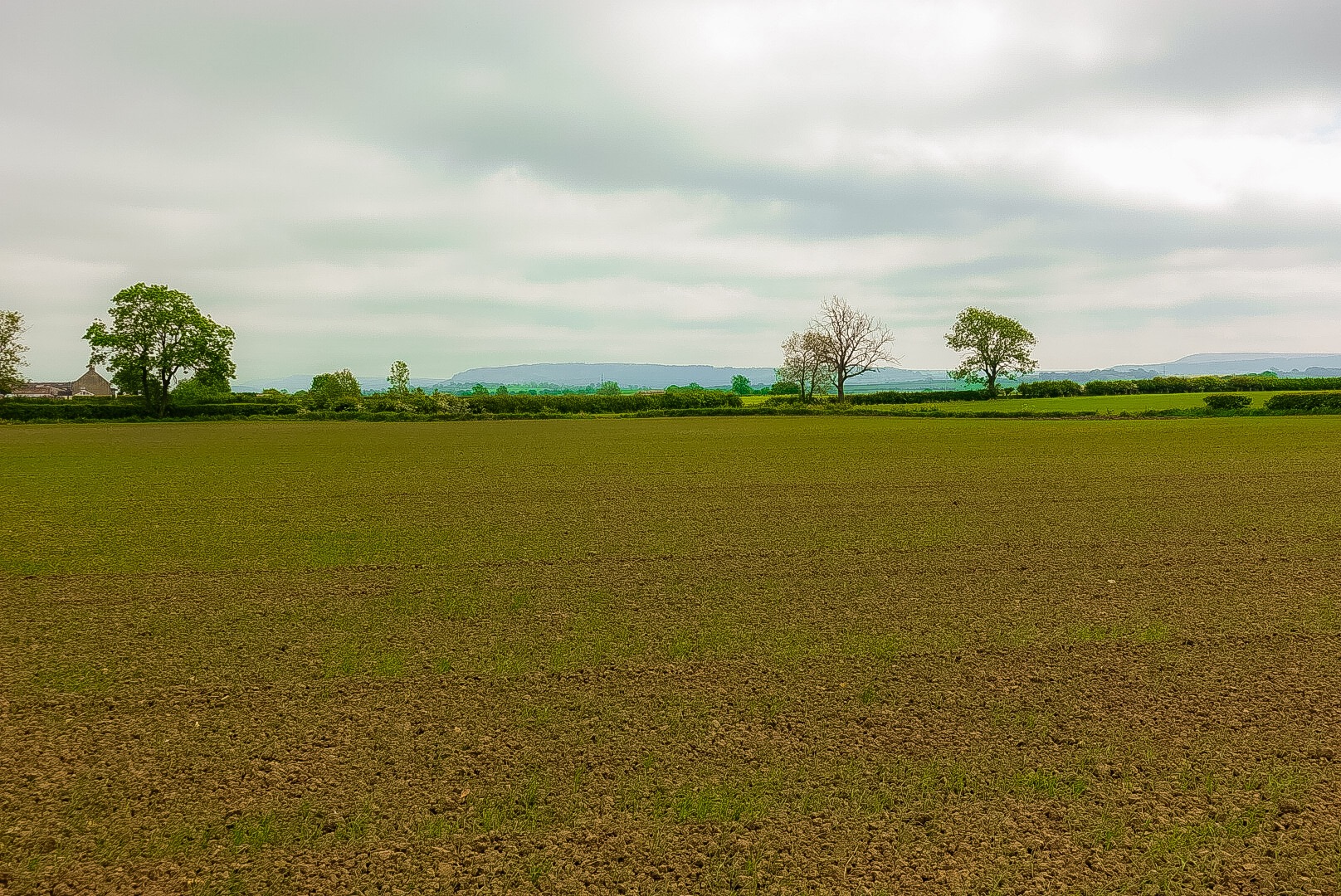
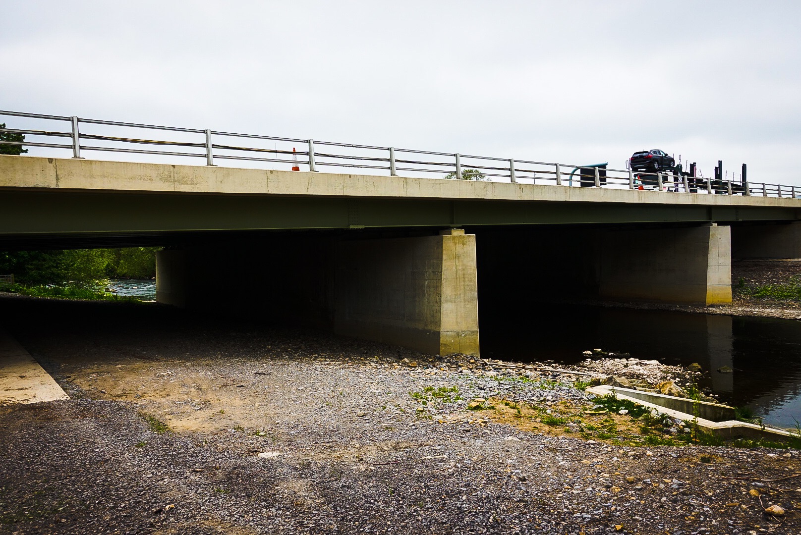
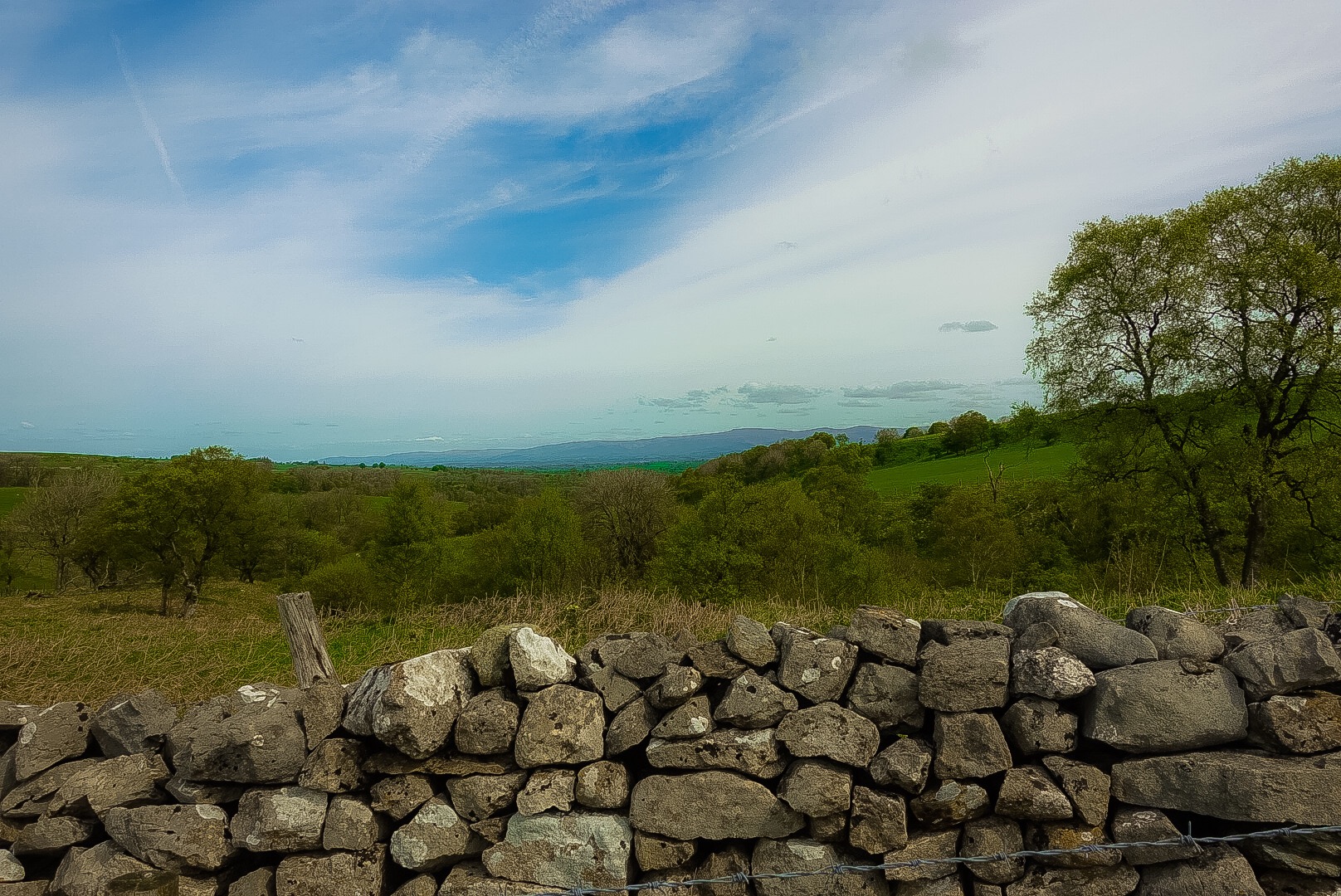
We went under the A1 highway. I mean, it was inevitable that we were going to have to hit a highway sooner or later. England is not separated, north and south, by no roads. I include a picture of the A1 and a couple of other pictures from our path, and it is clear that there is not much to say about it all.
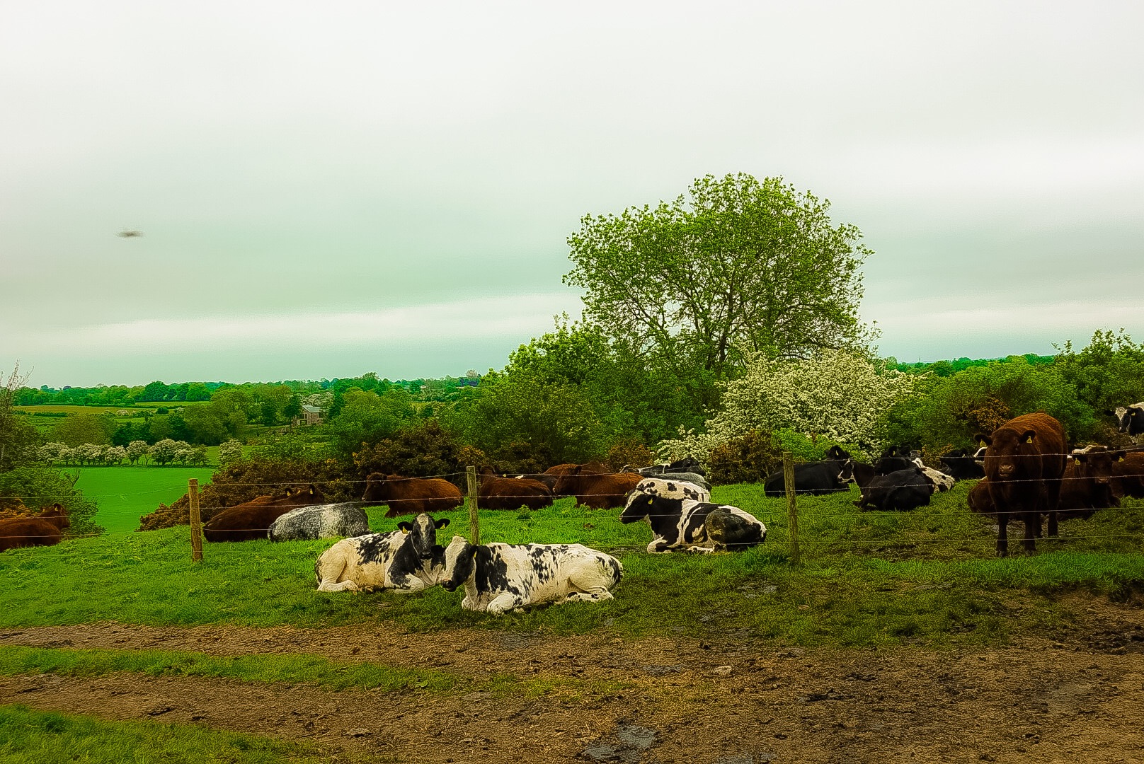
CowsThe A1 Highway – A High PointOn Small Roads A lot Today
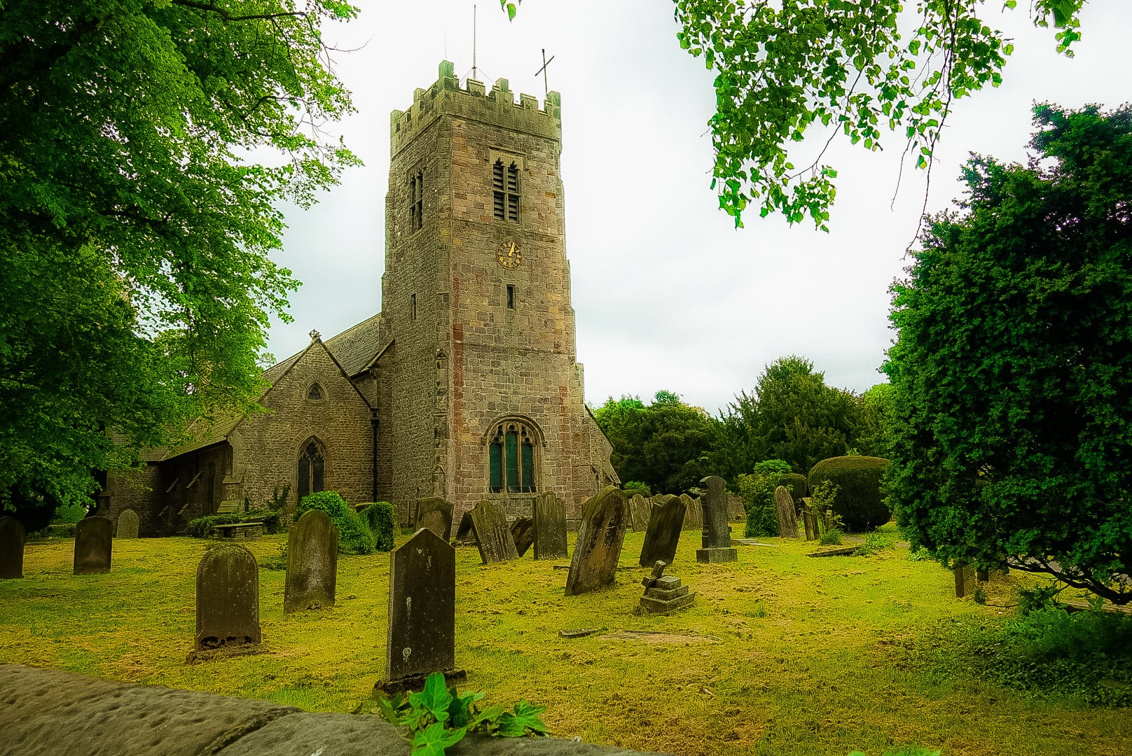
Oh, one interesting thing was the churchyard of the church in Bolton on Swale. It has an attraction. Henry Jenkins is buried there, and it attracts a lot of tourists. So, what did Henry Jenkins do? Only one thing – he was supposedly born in 1500 and and died in 1670, making him 169 years old when he died. Well, he is buried in the churchyard. Apparently, a lot of retired people move to Bolton on Swale.
Churchyard at Bolton on Swale
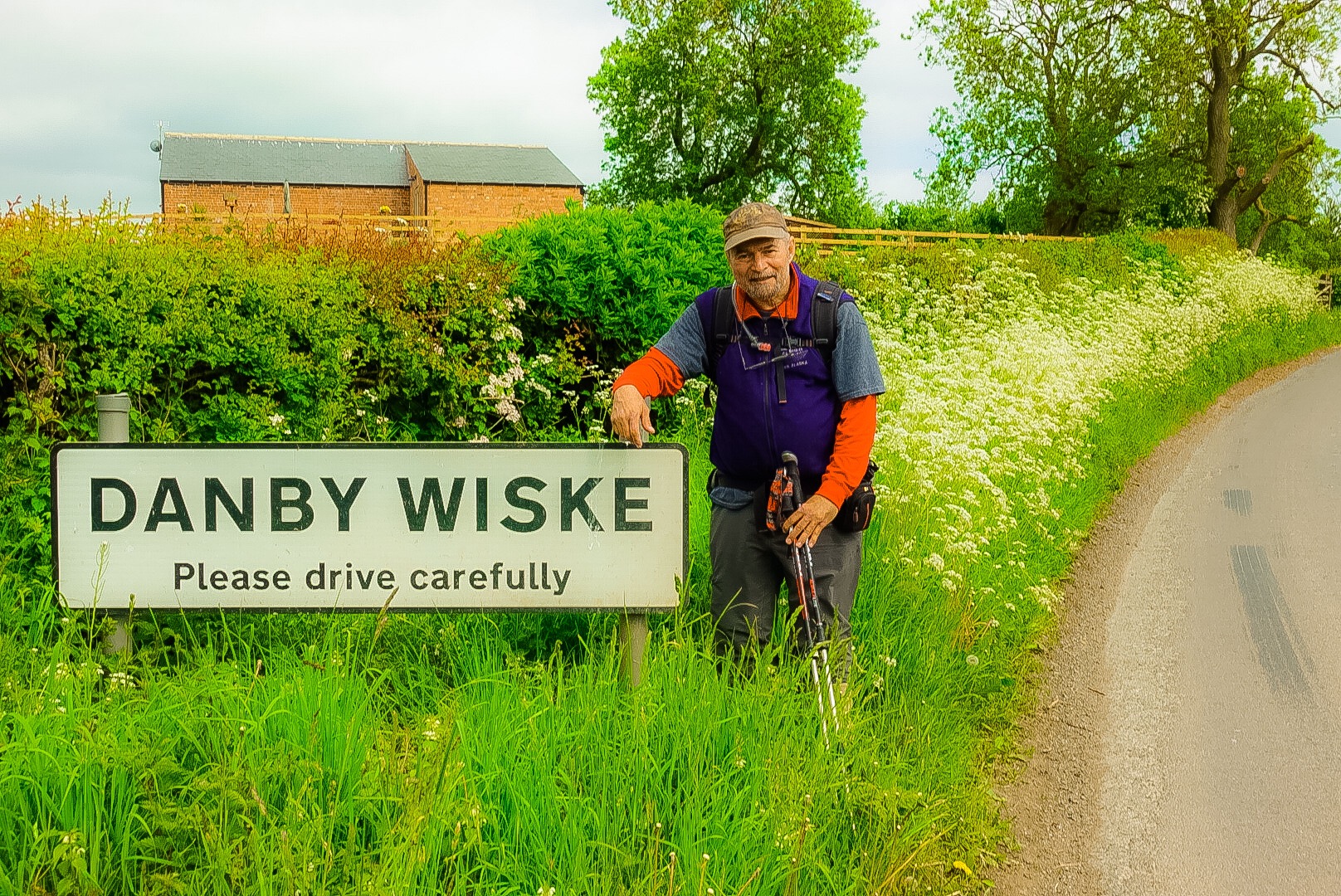
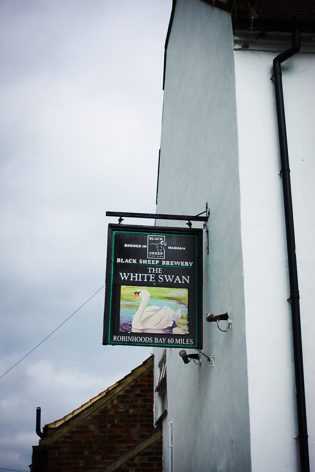
We arrived at Danby Wiske, where the hamlet’s only pub already had us down for dinner. We went to our B&B, the one that Joel‘s acquaintance so highly recommended. It was run by a very nice woman, but we detected nothing extraordinary about the place otherwise.
We were asked to leave our boots in the foyer and I turned around to do that, when my backpack caught an umbrella or cane sticking out of an umbrella stand made out of ceramic. It threw it over and the stand smashed into a hundred pieces. The proprietress said she had brought it back from a holiday in Spain, but was very gracious about it, after mentioning that fact. I noticed that the home was otherwise completely devoid of any decorative objects. I smashed the only decoration in the house. I told her if she had any Gorilla Glue, I could fix it. She didn’t know what I was talking about, so we drop the subject.
Danby Wiske
And, that was about it. Now onto to Day 13, which is going to be very short.
The Pub – The Sign Says 60 Miles to Robin Hood‘s Bay
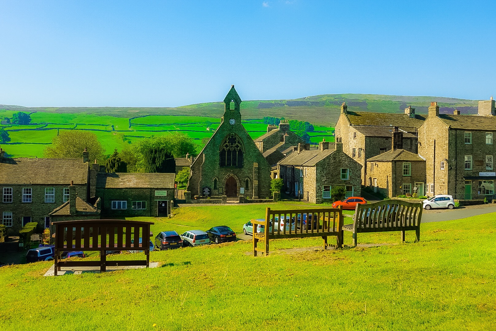
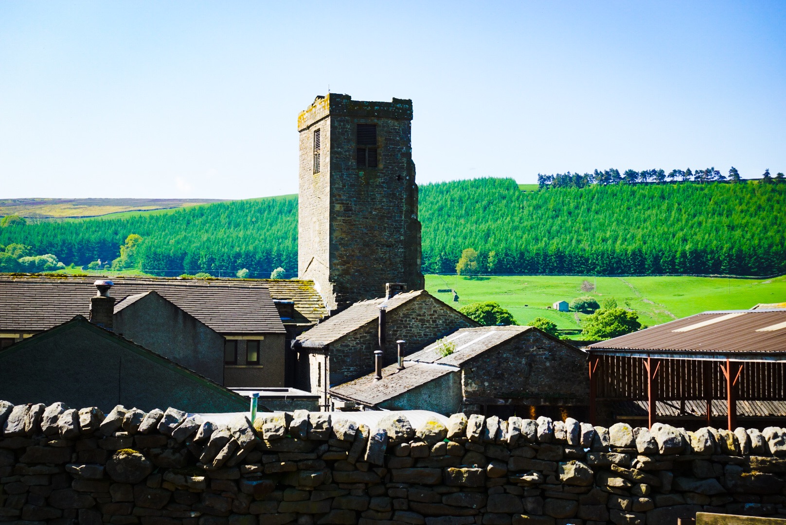
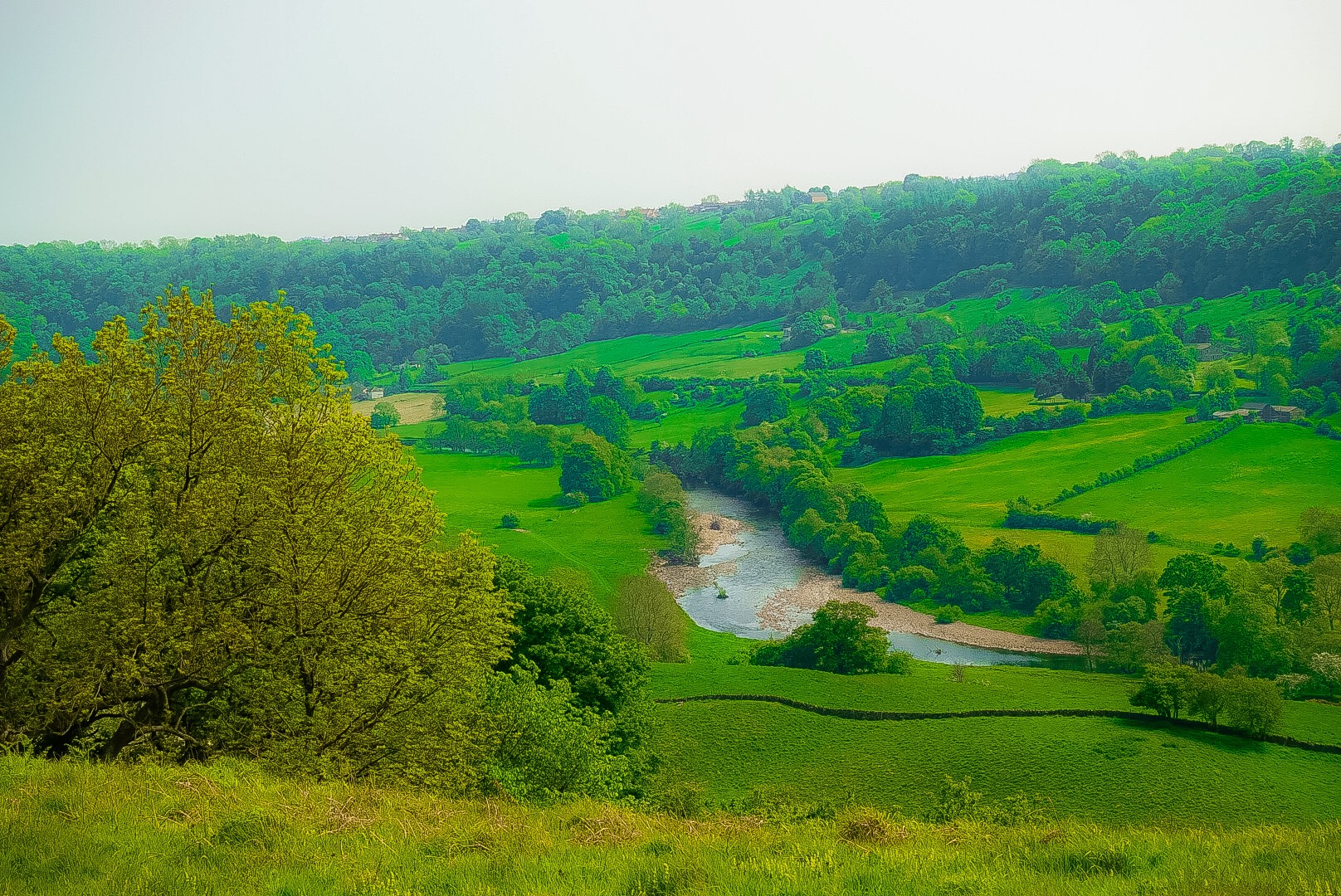
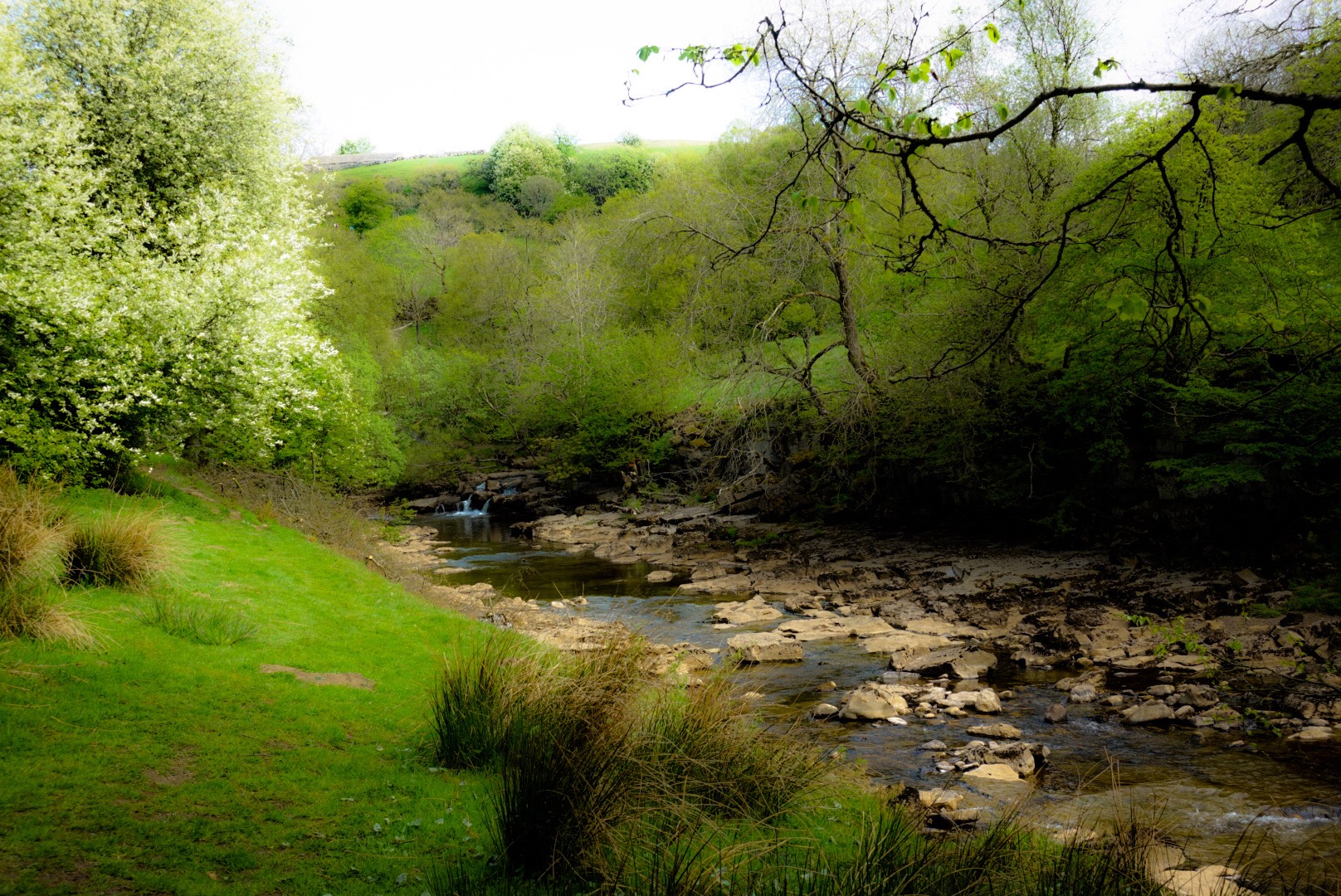
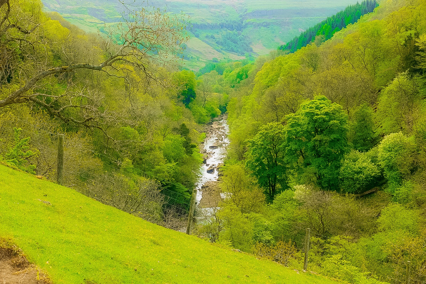
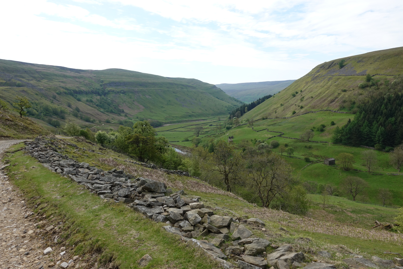
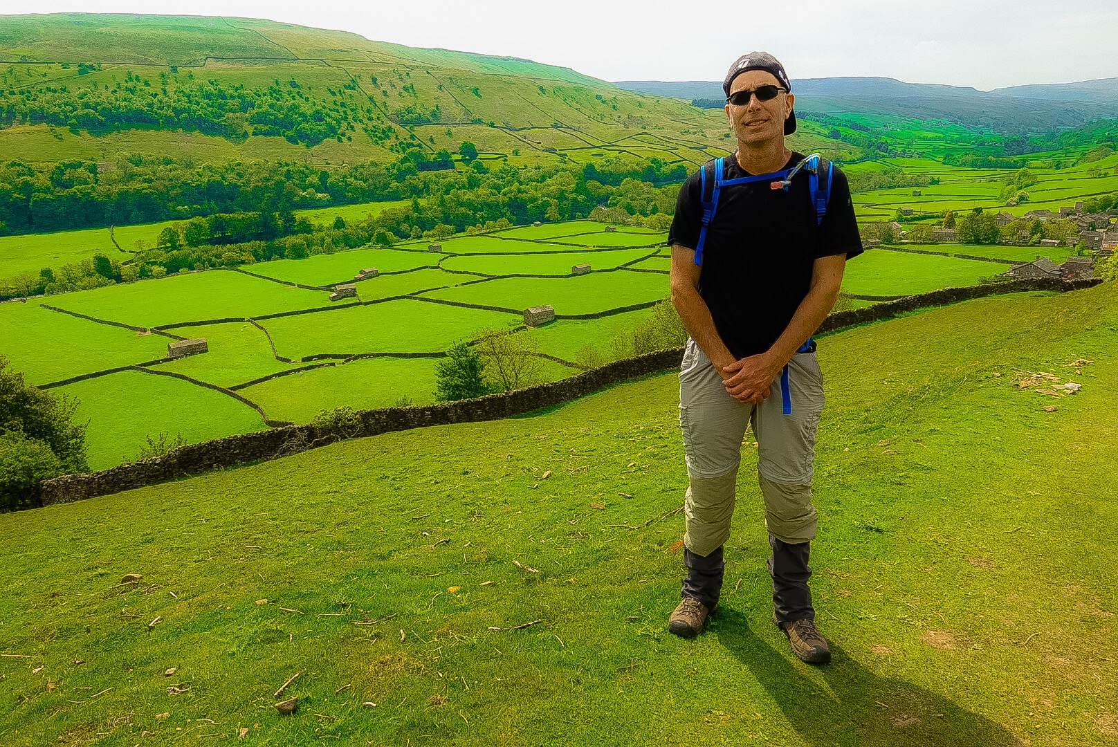
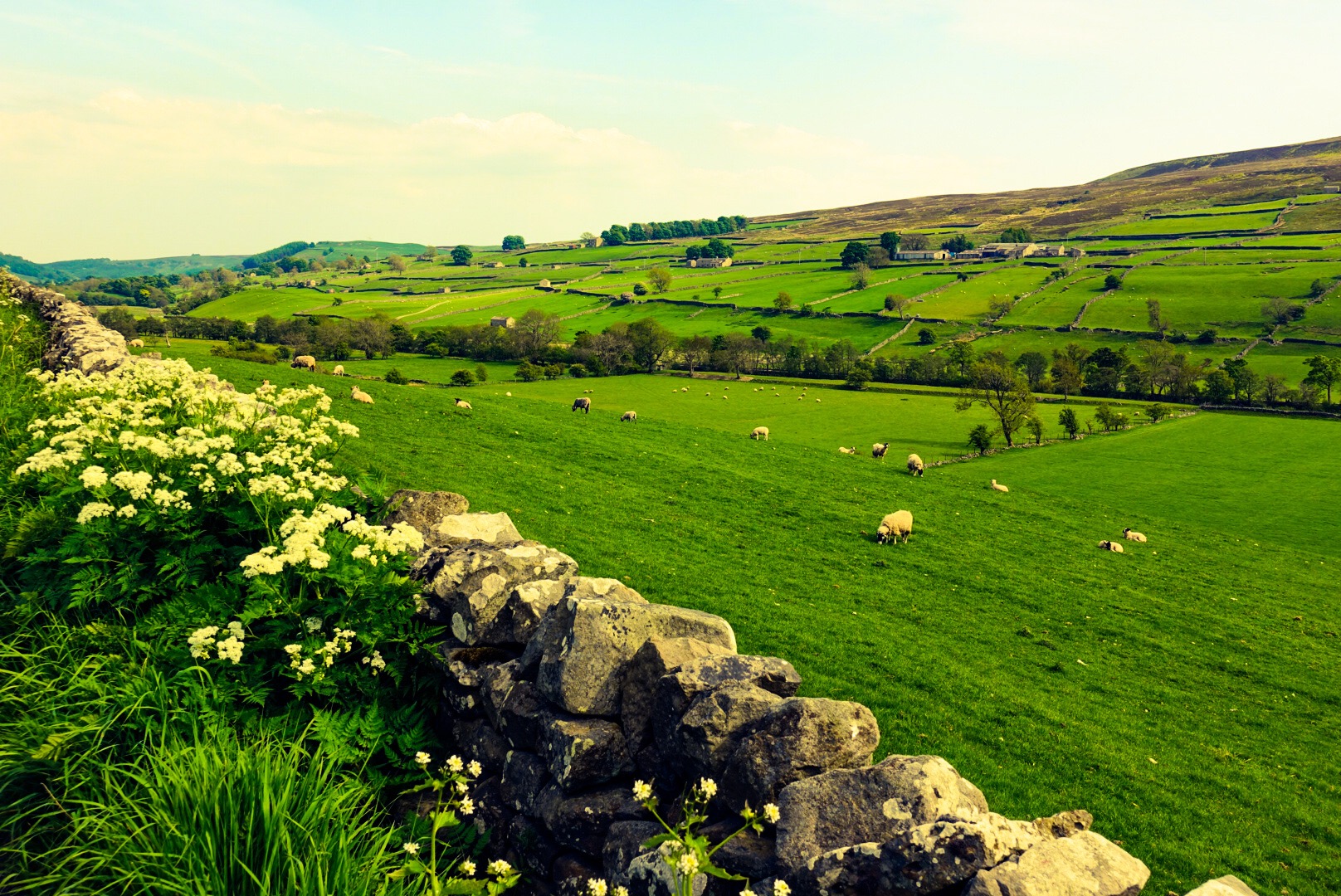
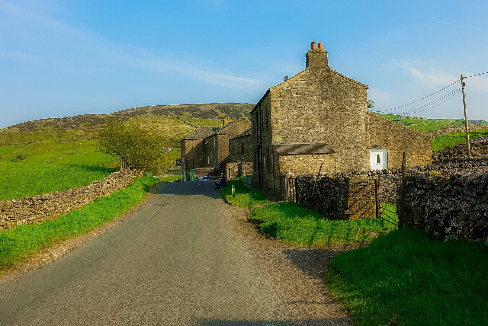
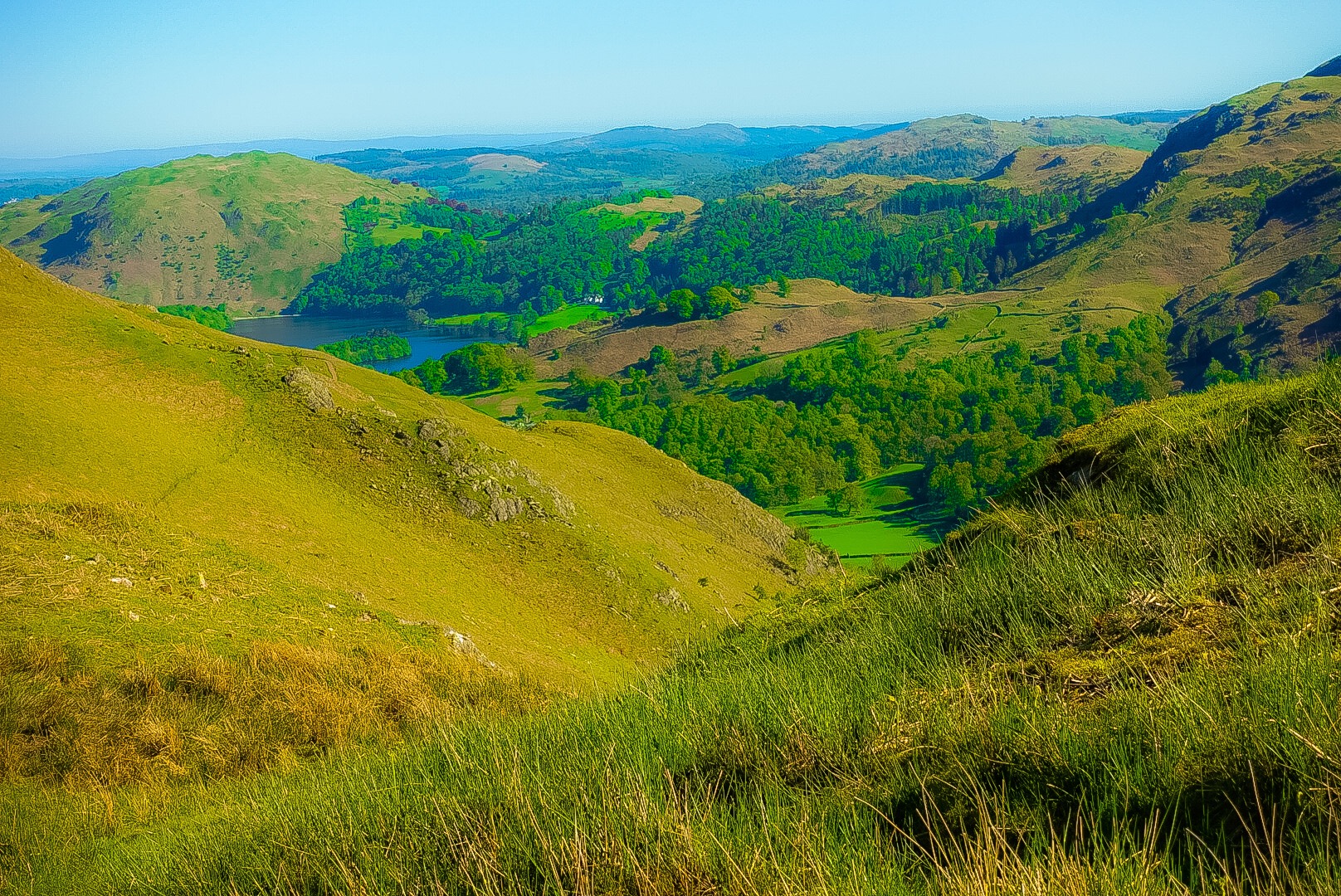
Reeth, our overnight last night, is the prettiest little village so far on our walk. It was used as a location many times on the UK TV series of Jamies Herriot’s book, All Creatures Great and Small. Today, we walked out of the Yorkshire Dales and left the Pennines, that ridge of hills known – as mentioned in another post – as the backbone of England.
The Start of Today’s Trail
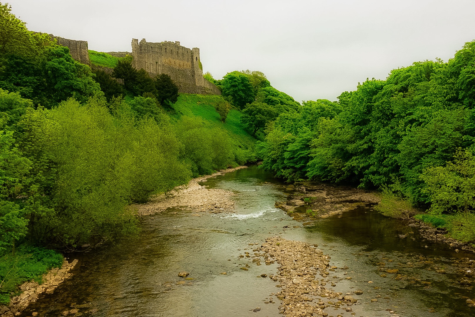
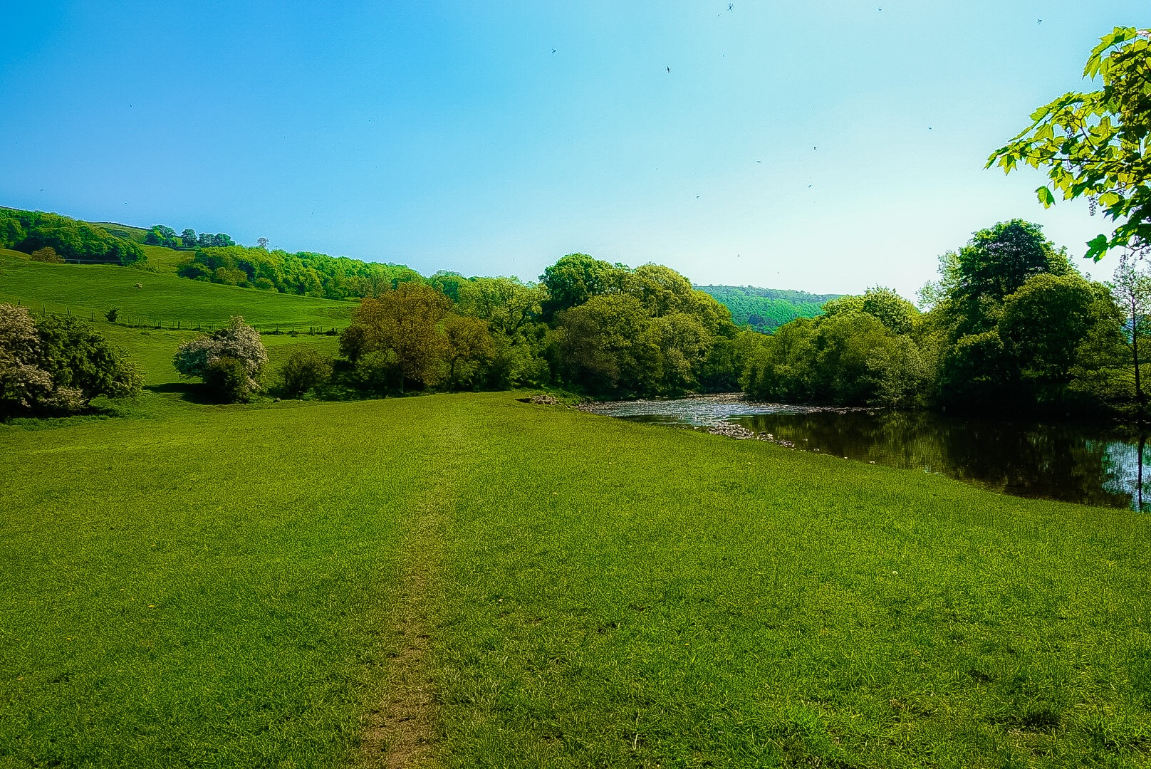
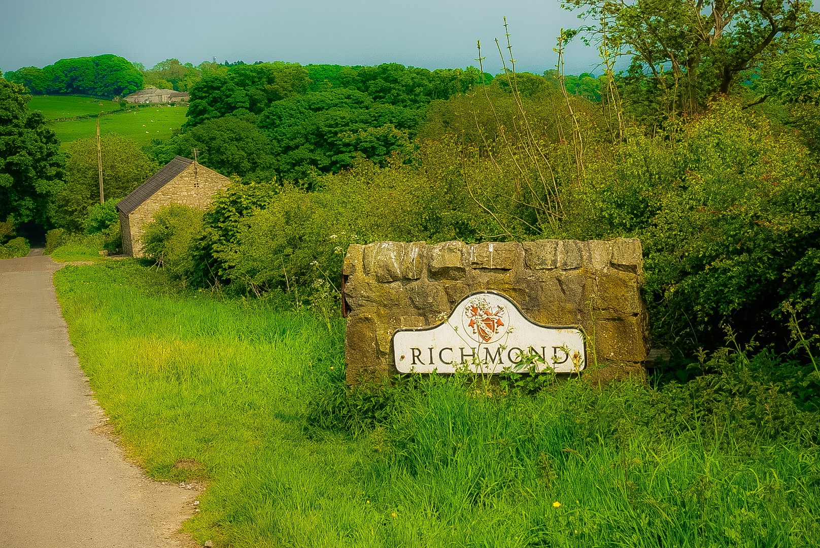
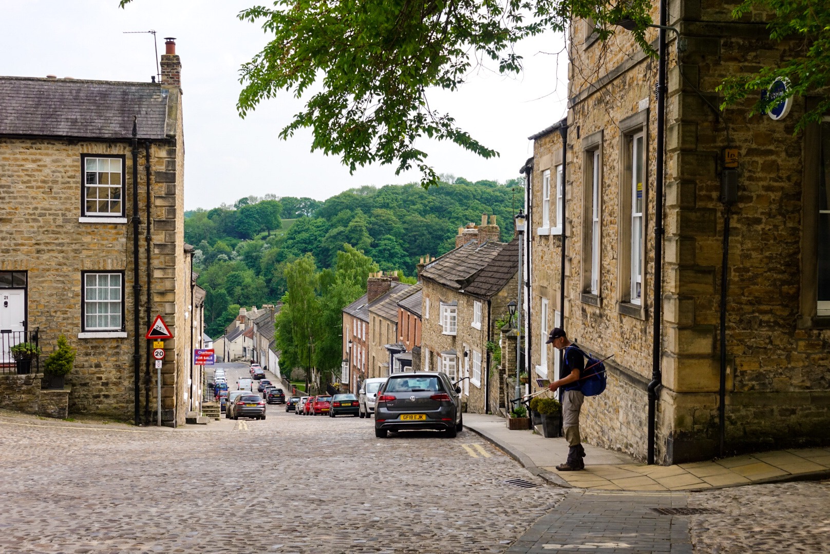
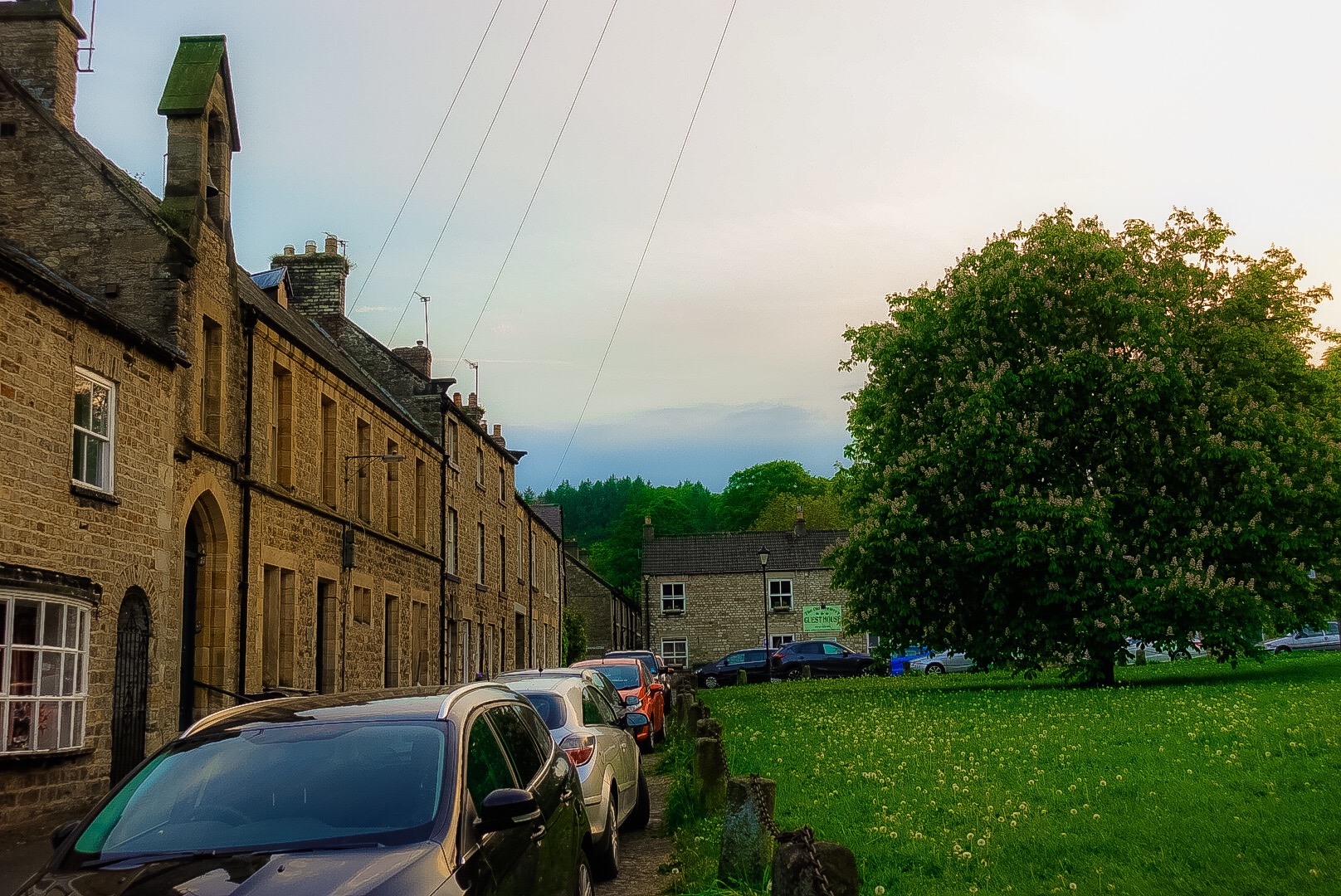
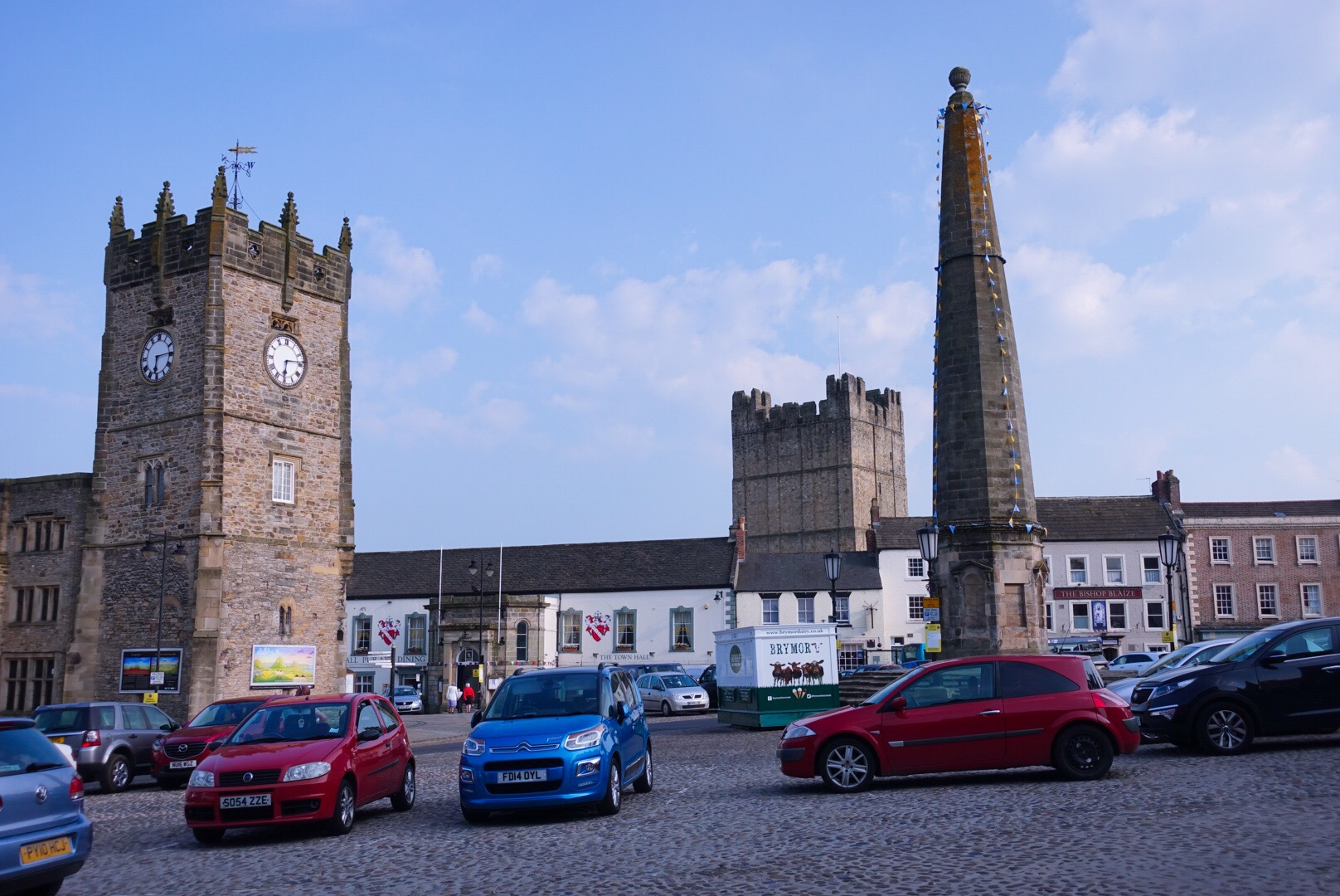
We followed Swaledale – Swale Valley – the entire day to Richmond, the largest town we would go through on the walk, and Richmond is not very large.
Marrick Priory
We passed by the ruin of Marrick Priory, which was destroyed in the 1540 dissolution. We only see things in passing on this walk, no stopping for closer inspection, that must be another kind of holiday. We need always to march on.
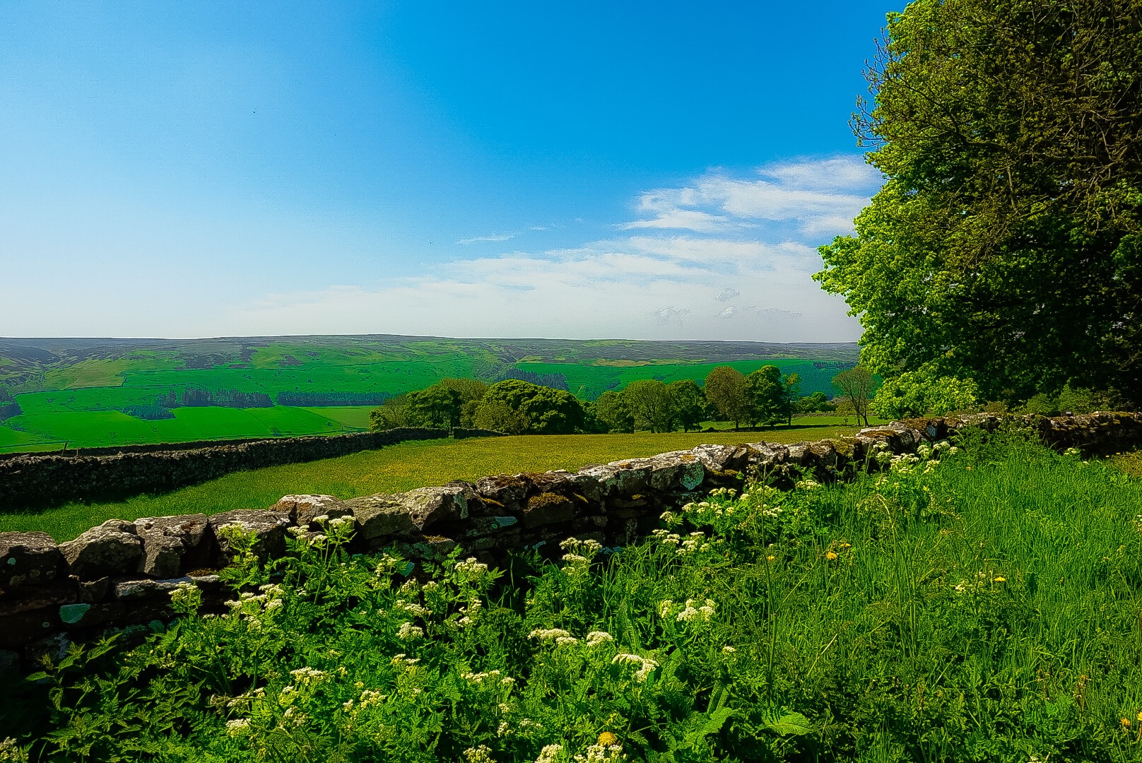
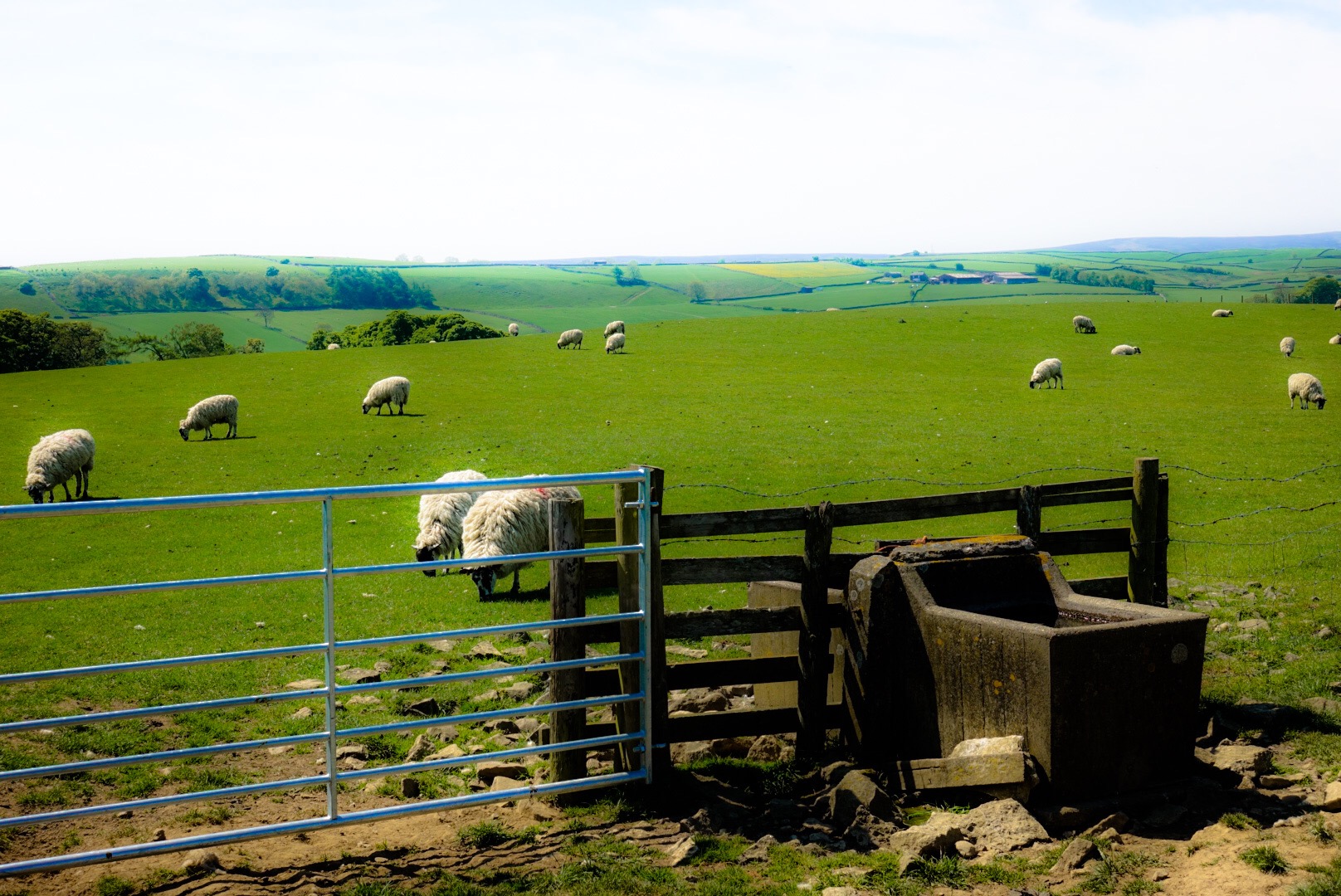
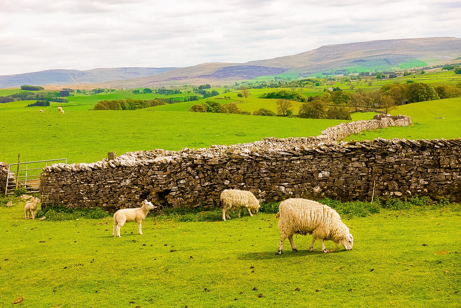
Stone Walls – Built without Motar, Some Dating back to Elizabethan Times, but most are later, up into the 20th CenturyOur Lunch Spot in the Village of MarskeSheep and More SheepJoel and I and a Furry FriendWhite Cairn and Some Shade
The walk today was relatively easy, a little over 11 miles, and only minor ups and downs. We were entering a new phase of the walk. Today, to Richmond, was attractive largely because of the valley, Swaledale. The next two days, after Richmond, Alfred Wainwright, a fell-walker, didn’t like. He called it his low point of his Coast to Coast project, and he was not referring to just elevation. The next two days will be very flat.
I am not sure whether many photos or many anecdotes will come out of them. Our next stay, however, will be in a village called Danby Wiske. Joel has an acquaintance, who did the C2C Walk and declared the Ashfield B&B there to be her favorite of the walk. We will be staying there.
Now in North Yorkshire – Getting Somewhere!The C2C is Not a Well Marked Route – Always Happy to See a Sign!Maybe our Last Nice View over SwaledaleIt looks like Someone has Quit the Walk!Entering Richmond
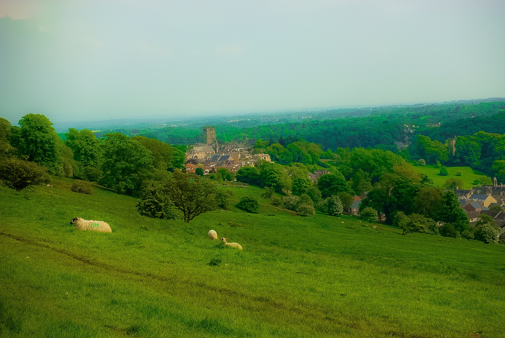
Approaching Richmond from above was impressive. The view may not have changed that much in the last four or five hundred years!
Approaching Richmond from AboveStreet Scene in RichmondOur B&B, The Old Brewery, is at the Far End of the Street
We are leaving early tomorrow, because we want to enjoy our B&B – recommended by a friend – in Danby Wiske. So, I will sign off. Good night!
After the Moon landscapes from yesterday, the scenery today was idyllic the whole way. We followed the Swales River valley – the Swaledale. There were still a lot of ups and downs. As my brother-in-law Joe – former marathon runner – says, “Flat is a mythical state.” When you see our ascent and descent numbers at the bottom of this post below, you will agree that, on this walk, flat is a mythical state.
My problem is that all of my muscles are remembering The Lake District, and even small inclines and declines now are still setting them off in protest. Joel’s shoulder hurts, but that’s it. That makes no sense. Why a shoulder? My feet hurt, my legs hurt, my hips hurt, and on up – but my shoulders feel great.
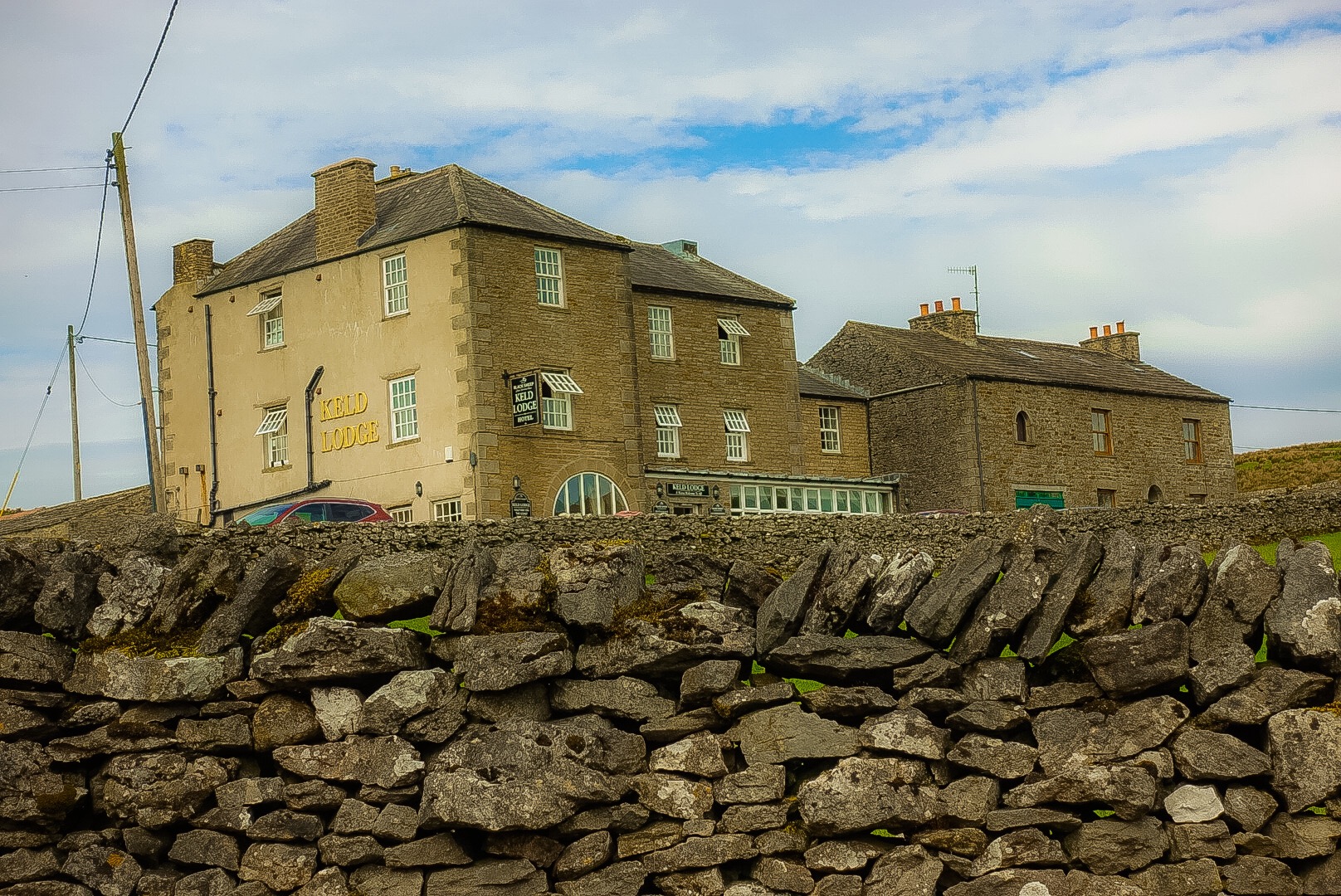
The Keld Lodge – A Very Nice Overnight
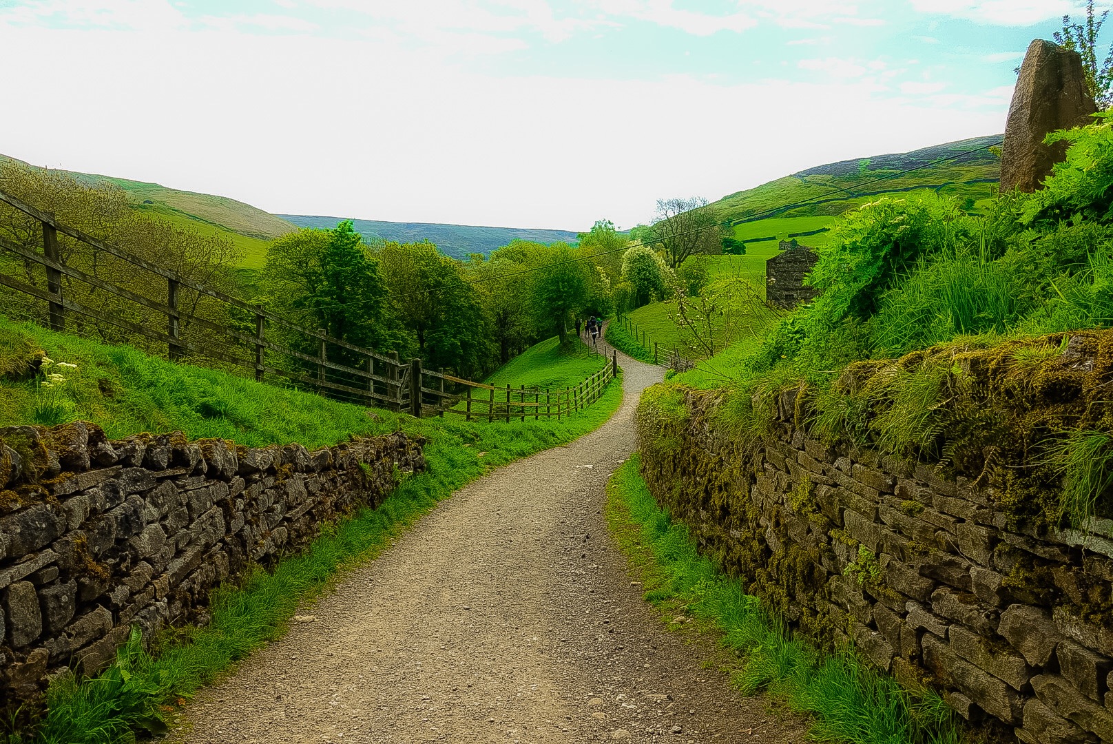
This stage of the walk, in the Yorkshire Dales, continues to show the ruins of a former booming 19th century mining economy, especially lead, no longer existing. We were advised to take a valley route, instead of a high route, because the valley is very green. Up on the top of the fells – the high route – are the remains of the mining industry. That was likely interesting, but a green valley and little villages won out. We also didn’t want to trudge through “lead dust.”
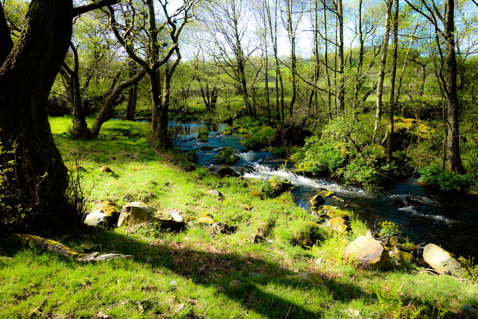
The Start of our Walk Through the ValleySwale RiverClimbing above the RiverLooking up Swaledale
When Joel and I were last time together on a trip in Yorkshire, in 1981, I heard a story about a mythical creature that roamed the moors there/here. I wanted to write a book incorporating the story in it and looked for a name for a main character, who was an old man. I looked at a map, because I wanted to give him a place name, as a sign of his ancient connection to the region. I came on the name, Swale, after this river. I just throw that in here, because this was the place. I have the book 1/4 written after several decades. Maybe, I will pick it up again this summer, now that I have also seen the Swale!
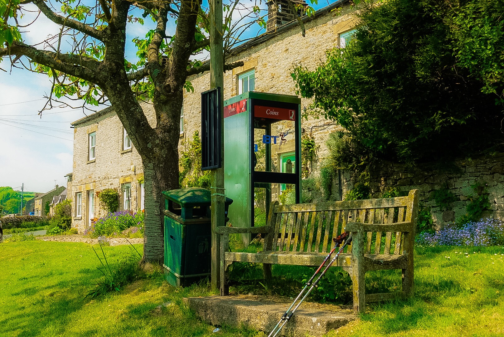
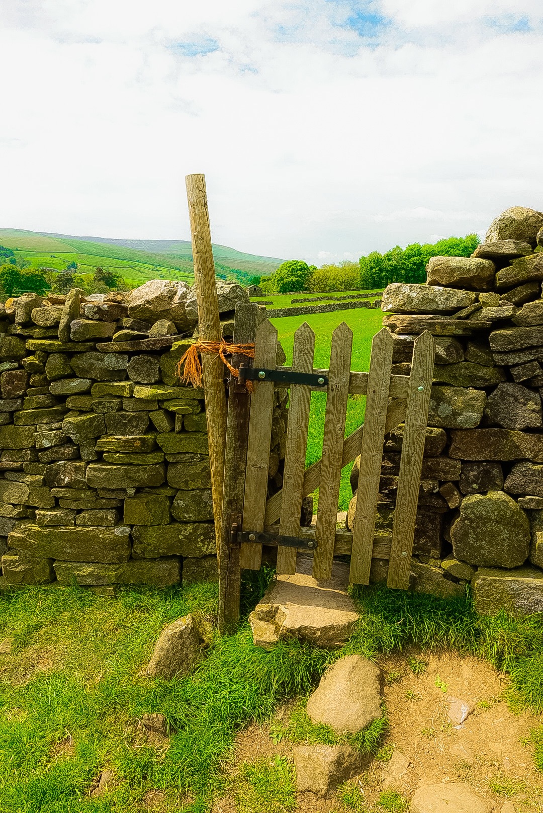
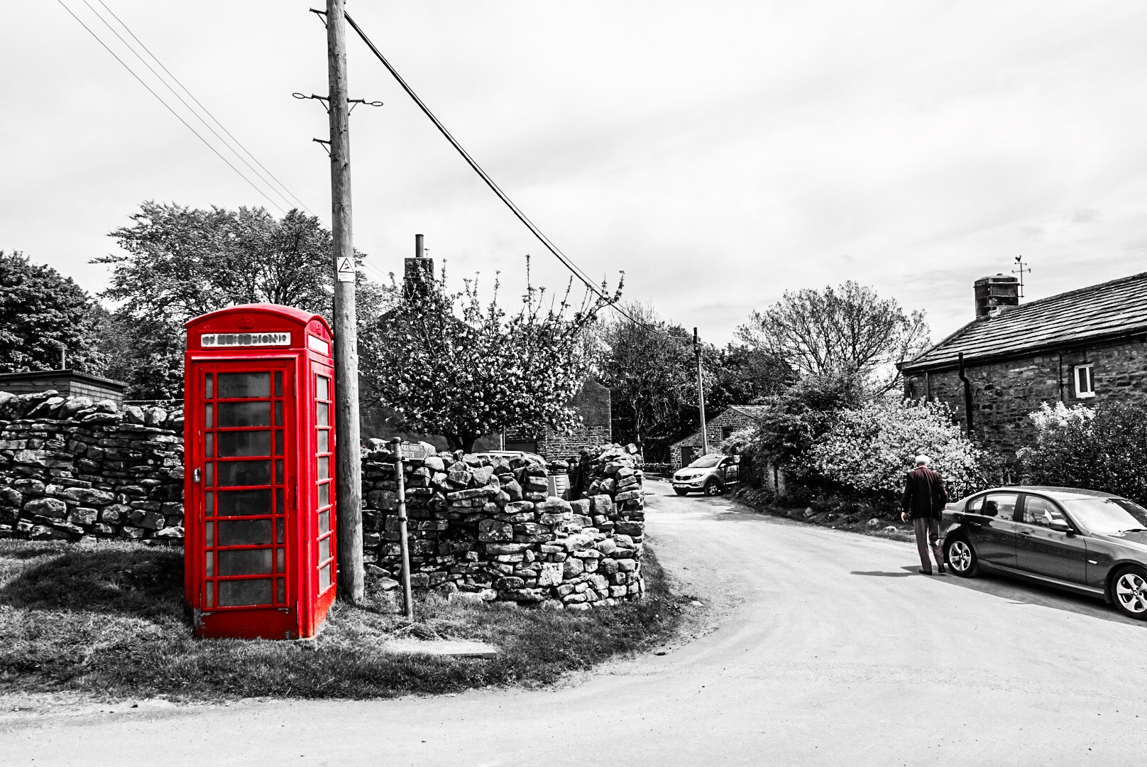
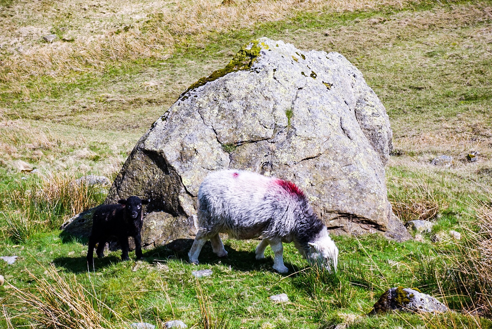
Joel Observed that One could Walk Across England solely through Sheep Pastures, passing Between Them through Little Gates in the Stone WallsJoel in Front of a Valley of Sheep PasturesLooking up SwaledaleYou Don’t see These Much Anymore – For You Younger Blog Readers, this is a Telephone Booth, It has a Telephone in it!
Joel assembled our stats for the hike so far, updated from his post on our rest day:
Distance Walked: 116.17 miles
Ascent: 18,798 feet
Descent: 17,854 feet
After 116.16 miles, we walked into Reeth, our stop for the night. Our B&B is in a building constructed in 1680. Walking on the floors and climbing the stairs can make you seasick. They slant in every direction.
Well, tomorrow is on to Richmond, the largest town on our walk. Late again. Good night!
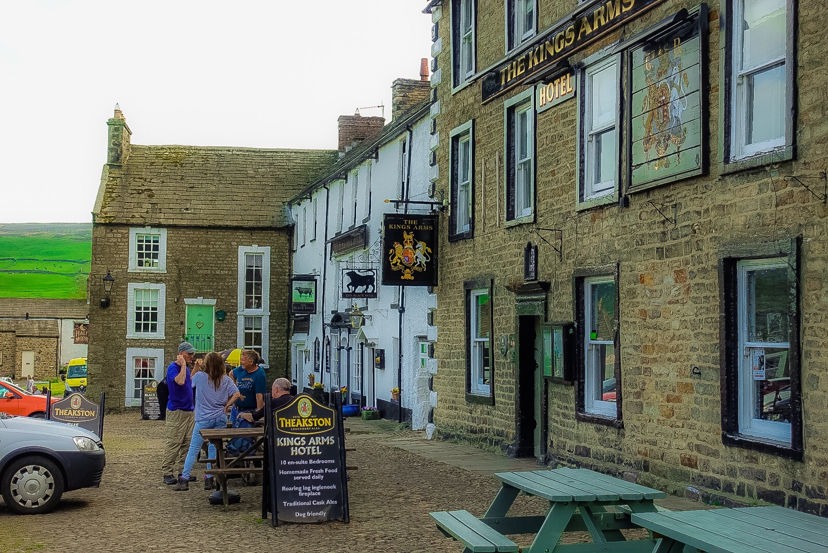
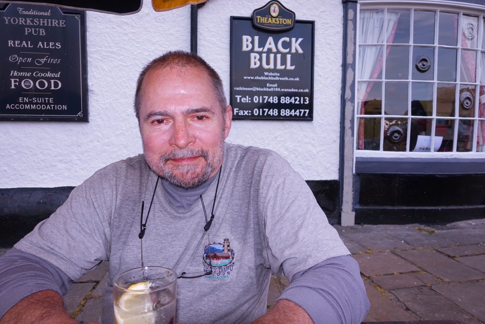
The Black Bull, Our B&B for the NightSweaty Me with a Gin & Tonic
Cathedral of the Dales – 13th Century Church at Kirkby Stephen
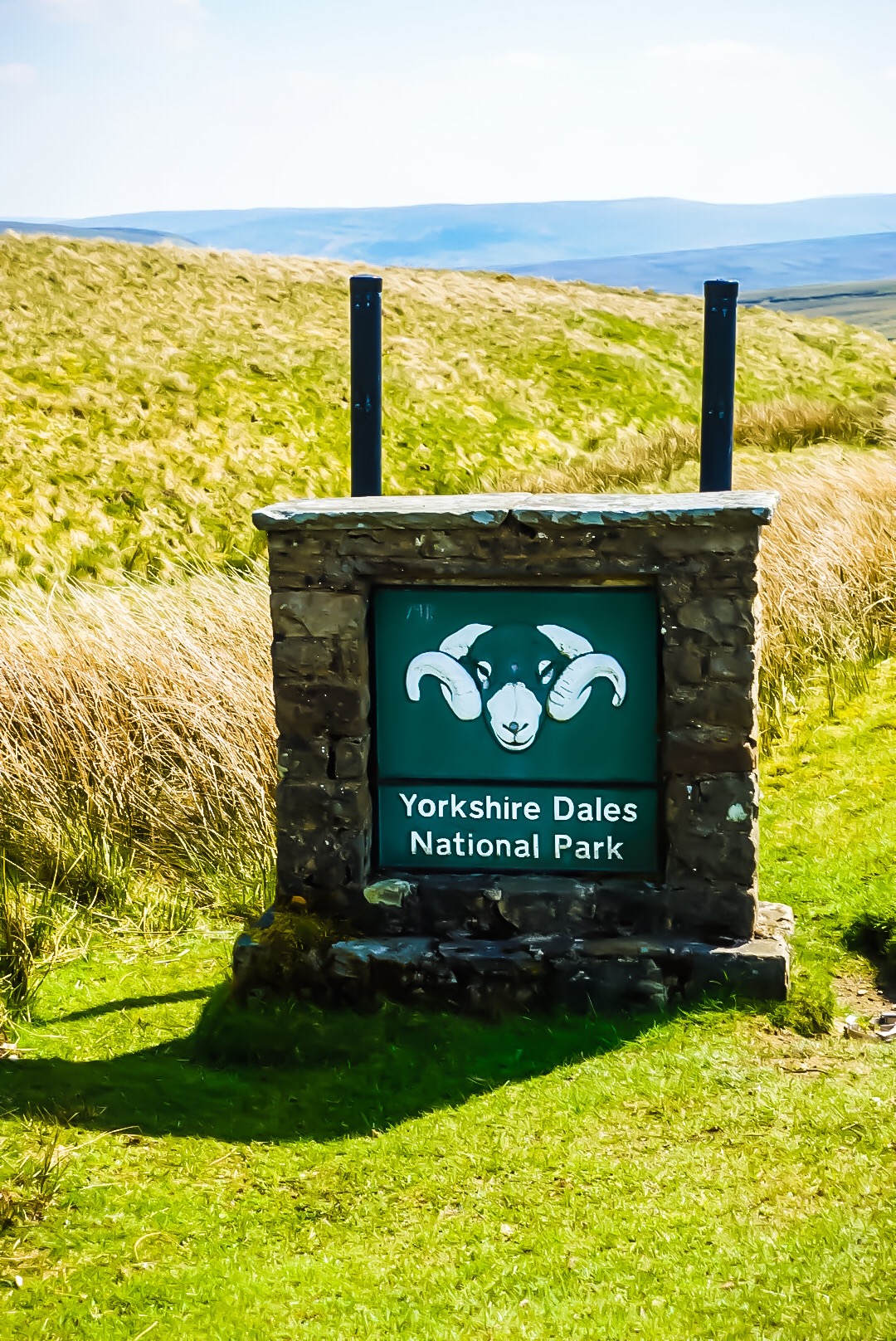
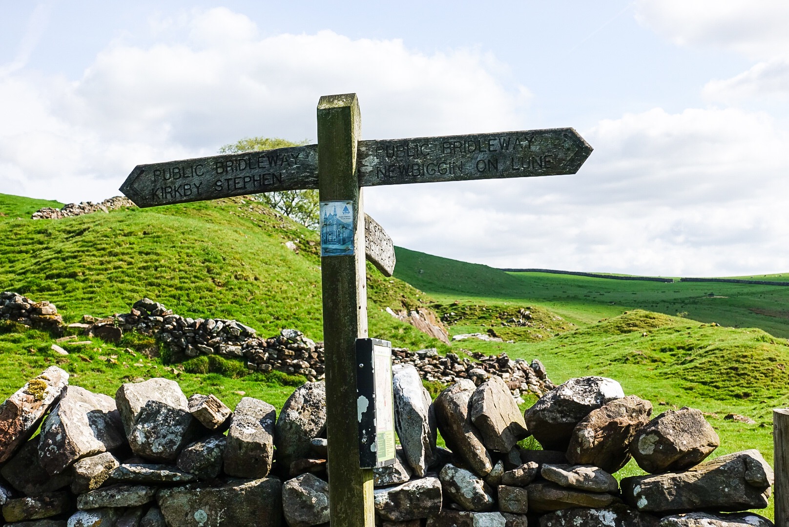
Yesterday, all of the water we saw flowed toward the Irish Sea. From today on, water will flow toward the North Sea. We crossed the English Watershed Divide. Today also put more of the walk behind us than in front of us. Today, we also passed – in time and distance – the halfway point of the walk. Today, we entered the Yorkshire Dales National Park, and we crossed another famous walk, the Pennines Way. The Pennines are a ridge of high hills going up the middle of England – the so-called backbone of England. It was a big day in many ways, but not highly interesting.
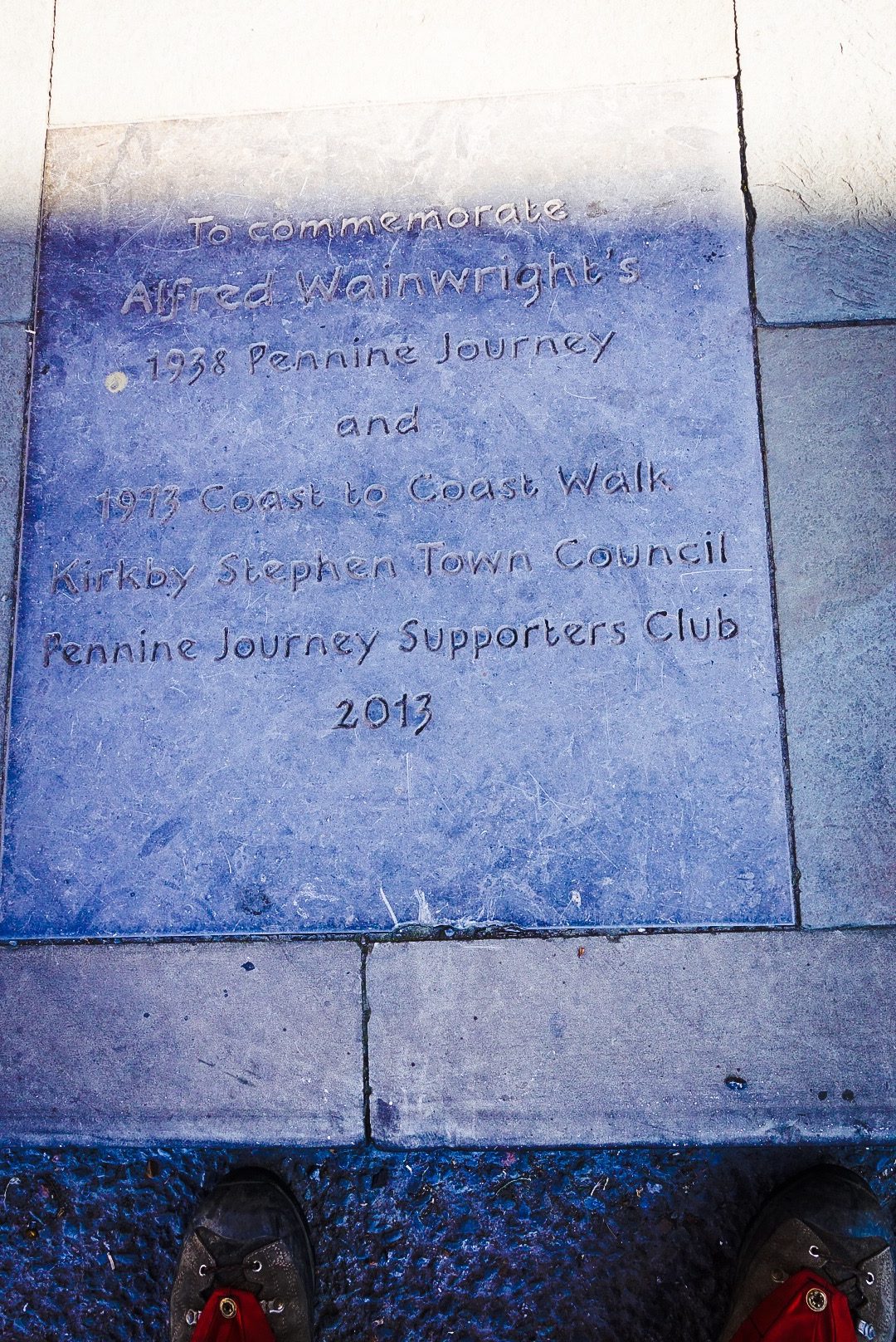
Stone Commemorating Alfred Wainwright and 2 Walks He Wrote About
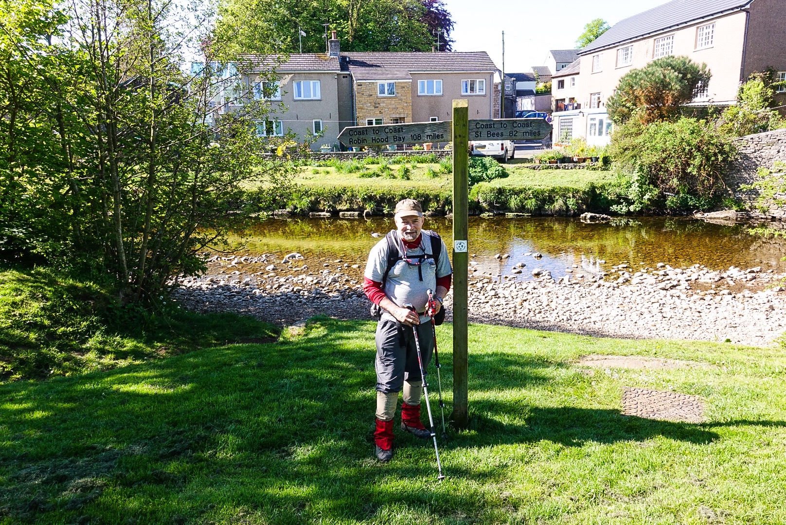
In fact, it started off rather nice, but before long the landscape turned into a moonscape. As we left Kirkby Stephen, we passed a Coast to Coast sign, giving mileage to St Bees and to Robin Hood’s Bay.
The C2C Sign Here is Not Accurate
The sign says 82 miles to St Bees, 108 miles to Robin Hood’s Bay. That is 190 miles altogether. The sign is wrong. The walk is officially just under 194 miles long. Our own mileage was increased by about 5 miles, added because of our breaking the first day’s route into two segments, but needing to get back to St Bees for the second night. We have also had a couple of wrong turns, which added a bit, but because of our navigation technology, we realized our mistakes fairly quickly. We will be above 200 miles by the end of the walk.
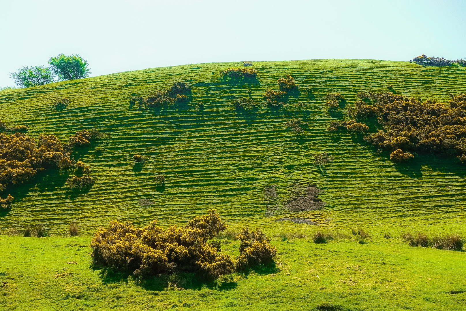
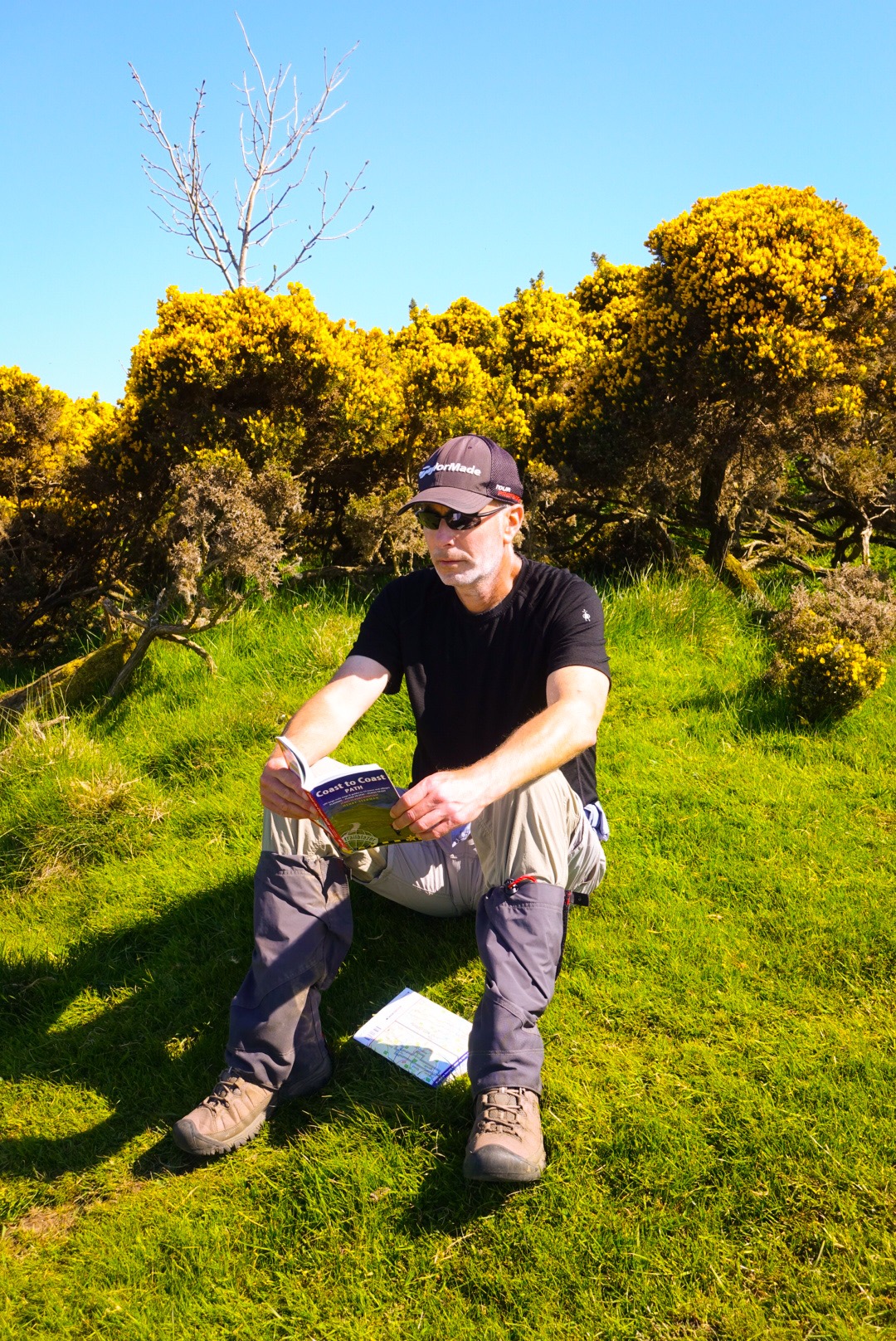
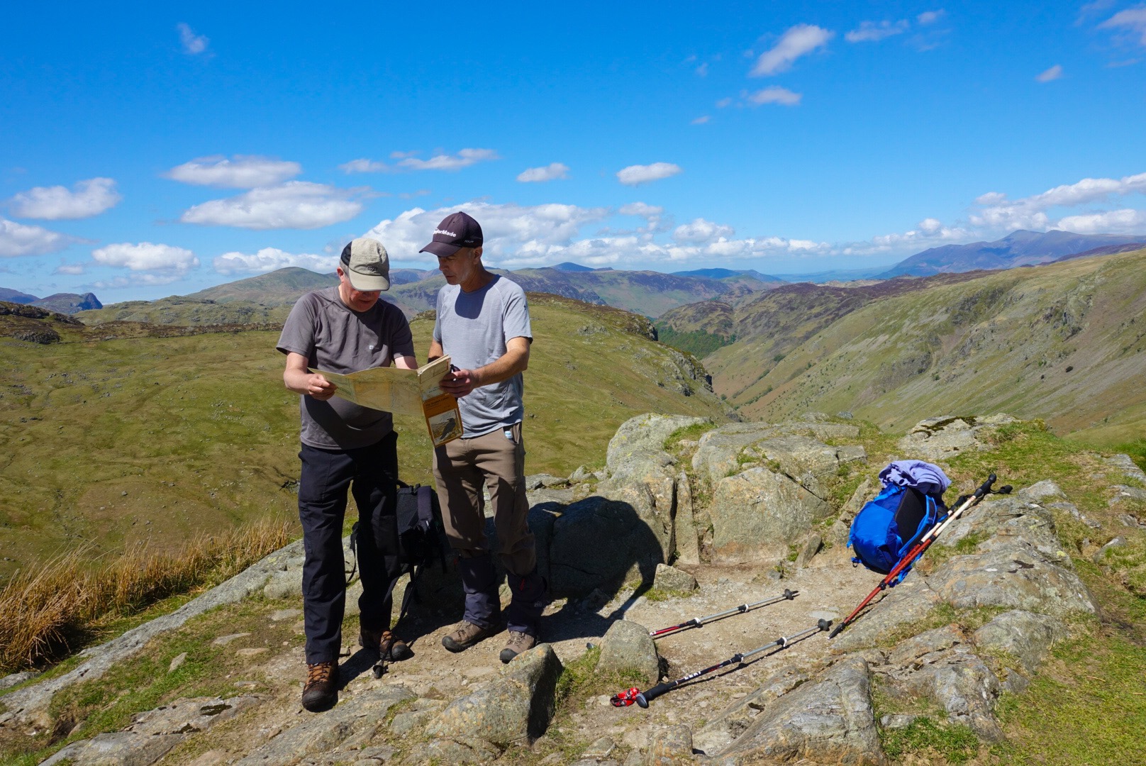
This Morning, While the Walk was Still Quite PrettyThis Morning was PrettyThe Ridges in the Hill are Caused by Centuries of Sheep Gazing!Joel Evaluating our 3 Walk Options – How to Avoid the 2 with All of the Peat Bogs!
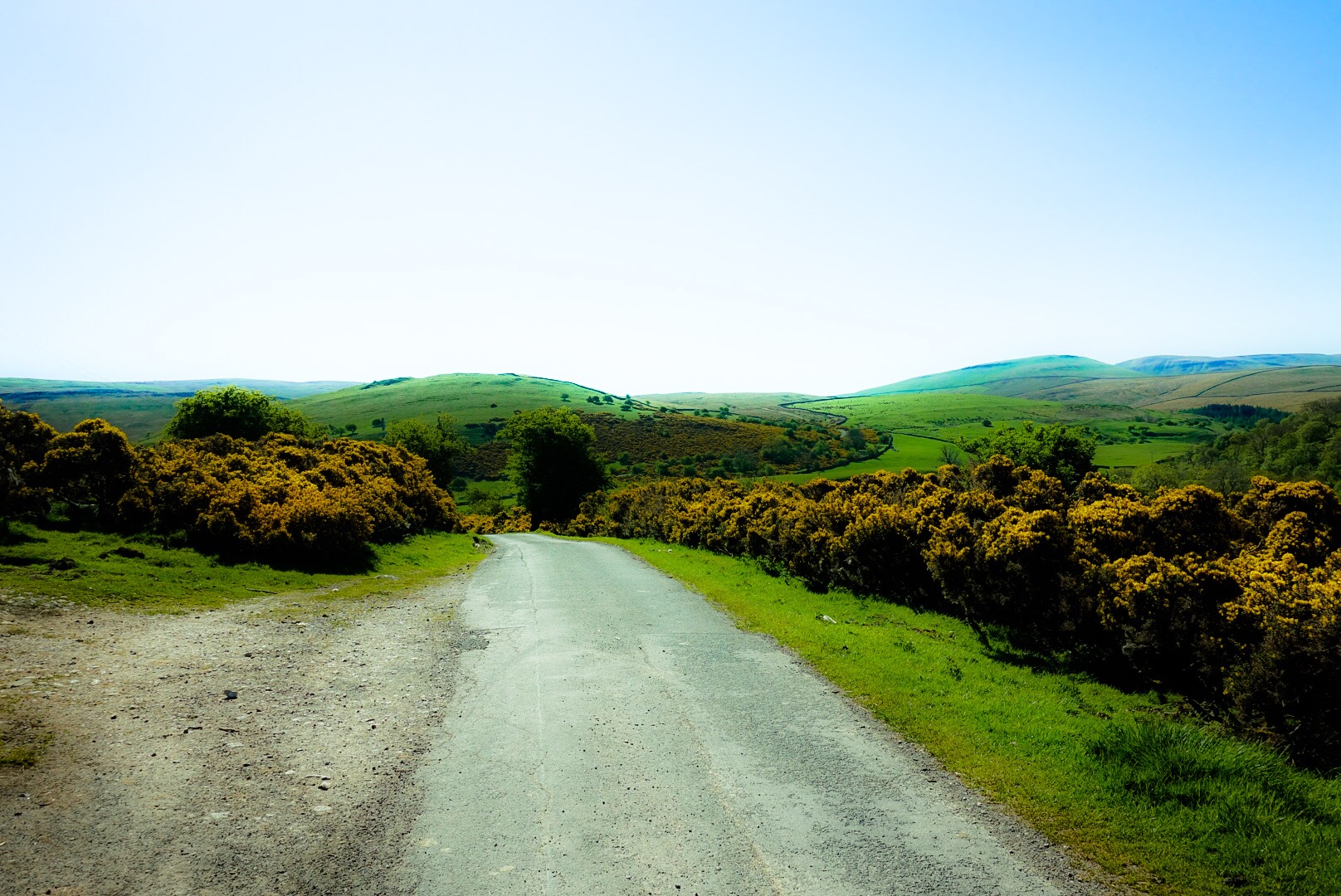
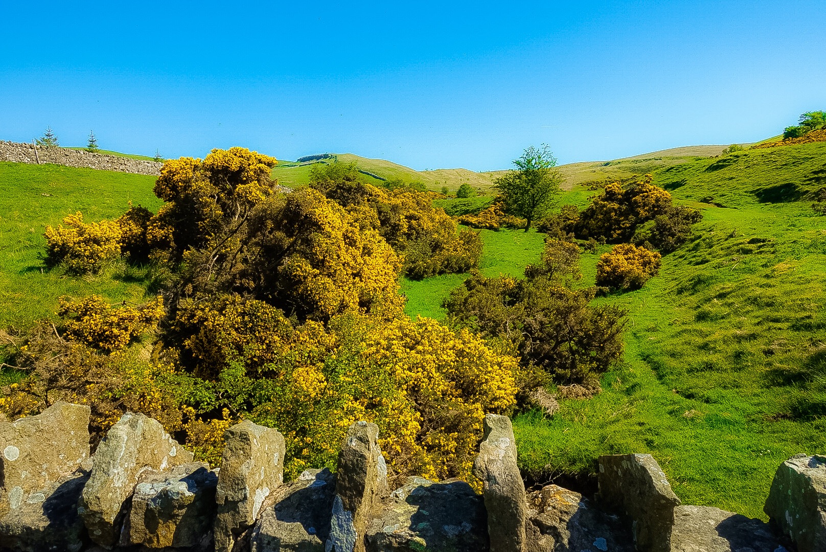
After green grass and yellow flowers, the landscape turned desolate, and stayed that way for miles and miles and miles.
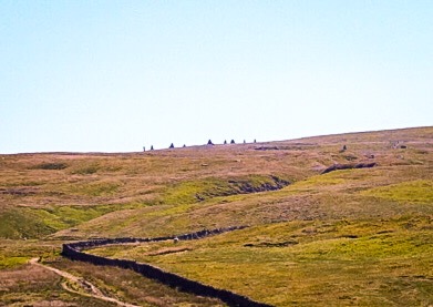
The 9 Standards – Standing Rocks on the Ridge – No Further Info on Them, Don’t Know if they are Ancient or More ModernNothing and More NothingSinkhole – One of Dozens!Old Cattle EnclosureRuins All AroundEntering the Yorkshire Dales National Park
I have had a frustratingly slow Wi-Fi connection here (in fact, there is not that much “here” here where I am now!). We made it to Keld – a one horse town with no stop lights. It is late. The Wi-Fi has gone out on me 10 times, so I am going to post a final picture or our B&B, the Keld Lodge, and be done until tomorrow!
When Bill Bryson decided to walk the entire Appalachian Trail, which he then wrote about in A Walk in the Woods, he needed a walking companion. The only one stupid enough to take him up on the offer was an old, long-lost friend named Stephen Katz.
Bryson hadn’t seen Katz for many years, and Katz turned out to be a disheveled alcoholic who huffed and puffed his way begrudgingly along the trail.
In my case I’m not an alcoholic (a doctor once told me to drink more), and I’ve hiked for decades, including seven times to the top of Half Dome from Yosemite Valley, a long, grueling day to a place that’s worth the effort.
So I’m ahead of Stephen Katz in terms of conditioning. Disheveled, maybe. But no, I’m the anti-Katz.
In any event, I view my primary job as making sure we actually get across England, as Jeff says, in an uninterrupted line.
So far, so good. We have some aches and pains, but we’ve made it over the difficult peaks and down the rockfalls of the challenging, but beautiful, Lake District. After a 20 mile day yesterday, we are enjoying a much- deserved day of rest.
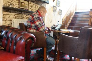
Jeff Blogging on Our Rest Day
Our typical day begins with an early wake up, and then teeth brushing and, for me, putting in my contacts. Then it’s on to foot preparation. In my case I cut pieces of moleskin and attach to the bottom of each big toe. Then a bandage over one nail and I wrap both big toes with tape. Finally I carefully, so as not to wreck all this handiwork, pull on a pair of Smartwool socks.
Then I fill up my 2.5 liter hydration reservoir and wiggle it into a compartment in my pack. I put must-have items like contact lens stuff and emergency eyeglasses into the pack, along with fleece, rain jacket, and a couple of extra water bottles.
Next I apply lots and lots of sunscreen, as the 16-hour sun is very strong here right now and everything exposed burns.
Then we have a fairly quick breakfast, where we might talk to fellow walkers and look over that day’s route. Afterward we stuff a B&B-bought boxed lunch into our packs, as space permits. On go hiking boots and gaiters (essential for the boggy turf here), and off we go.
We have several tools for navigating our way over hill and dale and summit, and we use them all. The trails are often hard to find, sometimes nothing more than a vaguely tamped-down strip of grass or a line of muddy footprints. Sometimes there is no obvious trail at all. Trail signage is poor; at least two signs have pointed in the wrong direction. We’ve added a few miles due to mistakes, and my job is to keep wrong turns to a minimum.
So I have the GAIA GPS app on my iPhone, which back in San Francisco I preloaded with trail maps of England and all the GPS waypoints of the Coast-to-Coast route. This gives us a tracklog (route line) across England. For the most part we just have to follow the yellow-brick road (i.e., tracklog line).
But there are times where the GPS tracklog is not quite right, or maybe we’re in a node between GPS satellites, or the satellites are drinking, and then it becomes more useful to pull out my 78-page trail map. In that case I become fairly useless and it is more likely that Jeff can correlate our location to a point on the map.
Sometimes we use our little guidebook, which has hand drawn maps with little sketches and directions like, “At boggy saddle turn east and climb path marked by cairns to a stile in the fence.”
Finally, each day (knock on wood) we arrive at our destination, battered, bruised, tired, and thirsty. If possible, we first check into that night’s B&B, take showers, and change into our finest evening attire. Then we head to the pub for drinks and dinner.
After dinner I go to bed; I’m asleep in moments. Jeff sits up a while longer — sometimes a long while — writing that day’s blog entry. And that is how each day goes.
We’re almost halfway across England! Here are some stats which I’ve gleaned from the GAIA GPS app, which has faithfully been recording our walks:
After 7 days of walking:
Total distance walked = 91.64 miles
Total ascent = 15947 feet
Total descent = 15070 feet
The ascents are hard, but the descents are slow, tricky, and difficult, especially in the Lake District where we had to navigate down loose, slippery boulders, rocks, and scree.
We’re doing it!
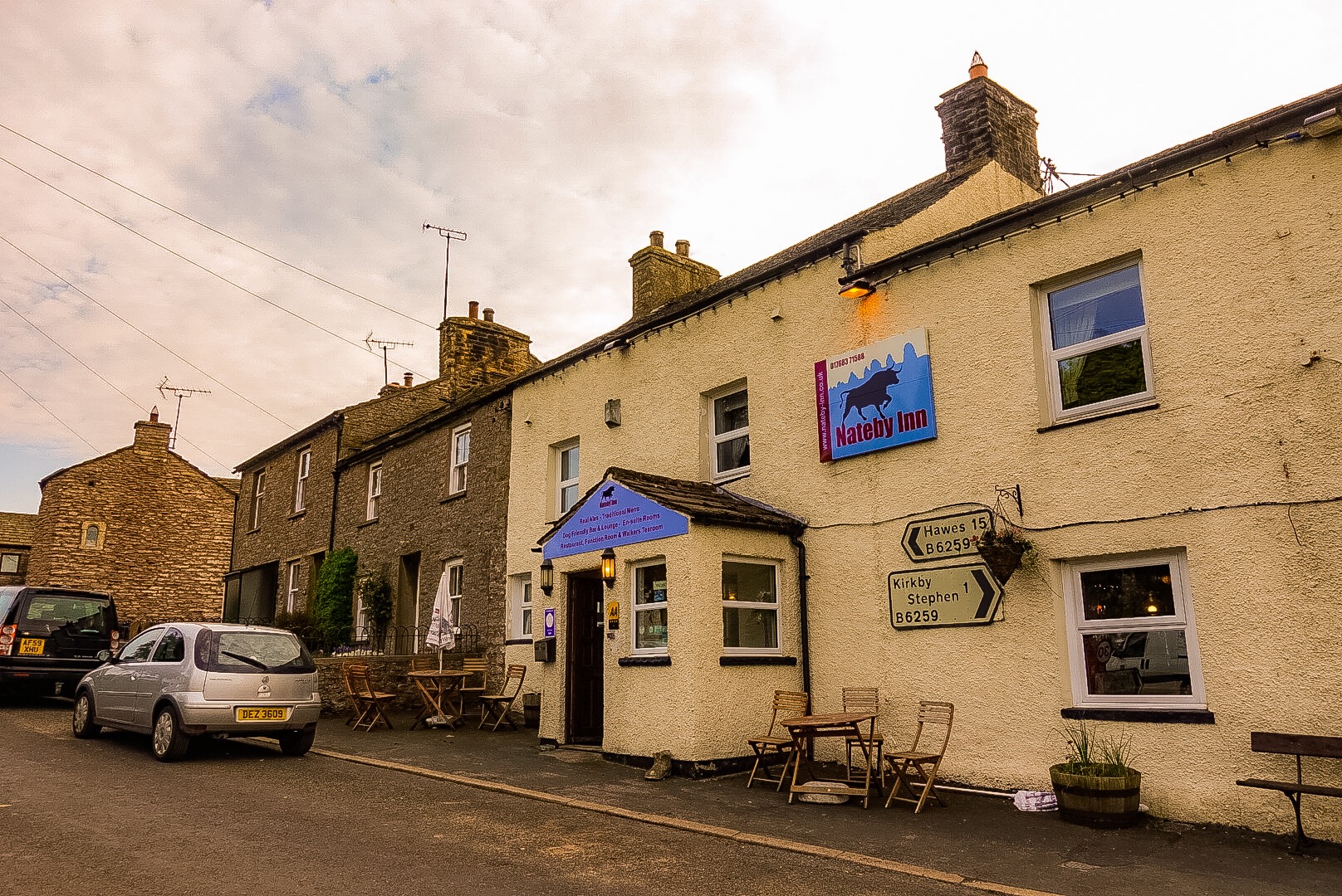
Greetings from Nateby, England.
Joel (the anti-Stephen Katz)
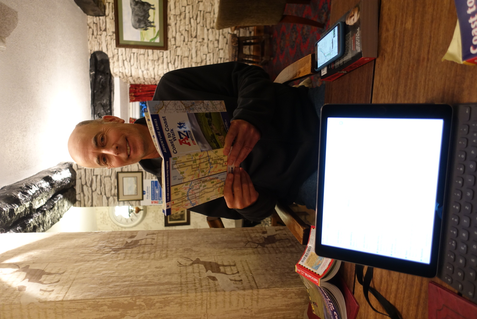
Joel Studying Tomorrow‘s Route – There are 3 Options at One Point and 2 are Bad – Very Bad
I wondered how I was going to face the 2o miles today after the 16 miles over peaks and valleys all day yesterday. I don’t know if it is a word, or one used in the right way, I should have checked, but I can’t think of any other term that expresses the pounding, shockwave-causing steps of the ups and downs of yesterday – my word for it is “concussive”! It was like each step up and especially down sent a shockwave through my body, from the soles of my feet to my knees to my hips to my back to my neck, and finally to my eyeballs. Everything was sore.
Our wonderful B&B host yesterday, Margaret, said she had something to help the bottom of the feet – wads of lambs wool. She gave me a bag. She said to put a good size portion under the feet, especially the balls of the feet and the heels. She said the lanolin in the raw wool would sooth the feet all day. I remember my sister putting sheep’s wool into the tips of her toe shoes when she was ballet dancing. Same principle. Well, it really did help! Lifesaving!
Getting myself out of the door and moving this morning took up so much of my brain capacity that I forgot about my “photo-journalism” and failed to take a picture of our quaint B&B, Brookfield Guesthouse!
New Countryside – Smaller Hills
Catching my blog up to our rest day, today, this entry covers yesterday. We have definitely left The Lake District, which was beautiful, but actually nothing but a thin grassy veneer over massive tall piles of rocks.
When I thought about walking across England, I had a picture of some Henry Fielding Cotswolds rolling green gentle-hilly countryside in mind. I lived and did a lot of hiking in the Alps, Joel has lived decades in San Francisco and hiked extensively out west. We both agreed that there were certain miles in The Lake District that were the hardest we ever hiked, brutal straight up and down rock scrambles. When I have more time one evening, I will give more reflections about this first half of the trip. It was great, but a tough reintroduction to hiking after my “force outage” for a few years!
Sheep – What Else?
It was a long hike today, but the paths were across gentle meadows, with more merciful climbs and descent, and then there was the lambs wool under my feet. It went well and tomorrow would be our day off!
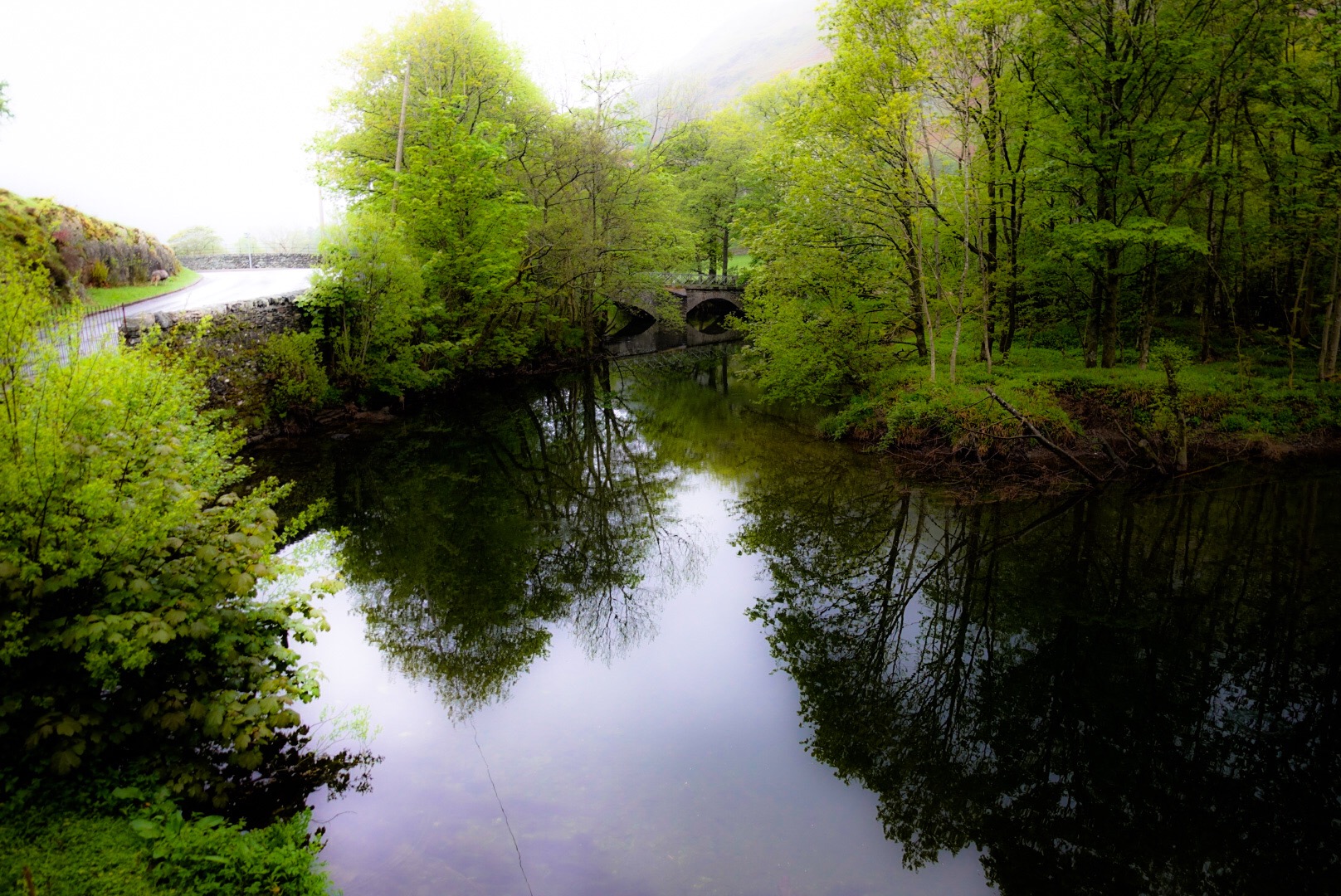
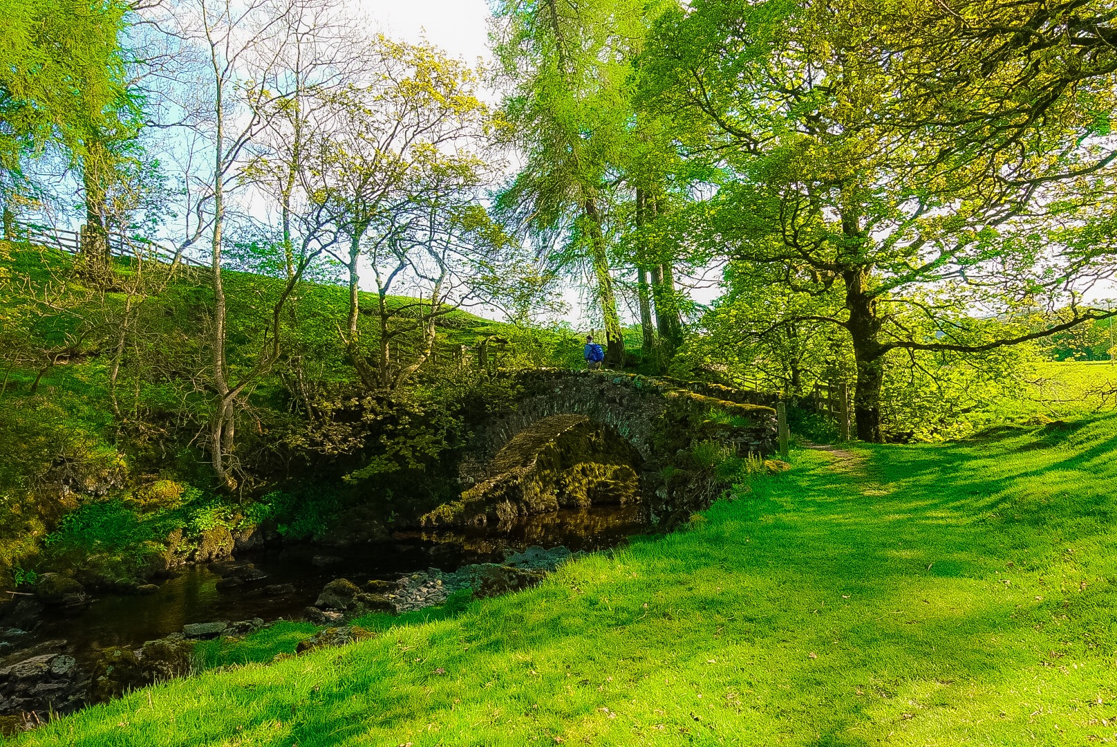
Smardale Bridge
But it was a long walk today. When we arrived in Kirkby Stephen, our B&B was in a neighboring town, off the trail. Our goal was to walk an unbroken line walked across England, but this would allow a taxi off the route and back to the same spot on the route. It even recommends it in our book, if our B&Bs are further off at the end of a day. Well, we called the only 3 taxis in Kirkby Stephens – one driver was in a pub and couldn’t drive anymore, the next said her car was booked for the evening, and the last call went straight to voicemail. We called our B&B hostess, who said she couldn‘t drive.
We were in a hotel pub for dinner in Kirkby Stephen, The Pennine Hotel. One of the bartenders felt sorry for us and found a local in the bar who hadn‘t started drinking yet, and for £10 she would drive us to our B&B! We happily accepted and ended a long day in a decent hotel, which we decided not to leave during the whole day off!
Godrill Beck – Start of Likely the Hardest Day of the Walk
You will notice that no post came out after Day 6, when Day 6 really ended. But, I suggested at the end of Day 5 that I might not be able to get to it, because Day 6 was going to be, likely, our hardest day, and Day 7 our longest. Well, I had to skip writing a post at the end of Day 7, too. I am on our rest day catching up.
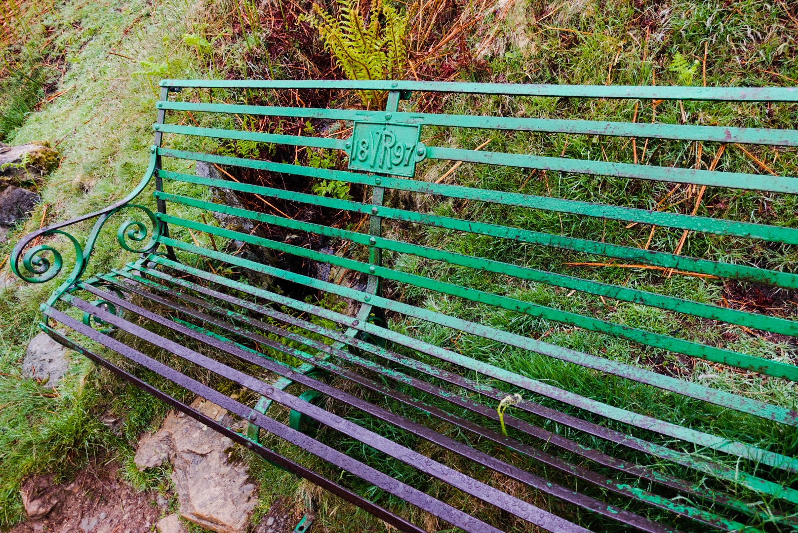
Victoria Regent 1897 – Bench
Well, the good news is that we are now through the hardest day and through the longest day, and we are on our rest day in Nateby, outside of Kirkby Stephen, an old market town. The two days were hard and this rest day is placed well to maybe, at least, partly recover. But, I am ahead of myself. This post is about Day 6, the hard day, and I may put out 2 more posts today, if I can – Day 7 and Day 8, the rest day. You can savor them by spreading them out over a couple of days, or you can open a nice bottle of wine and binge read them!
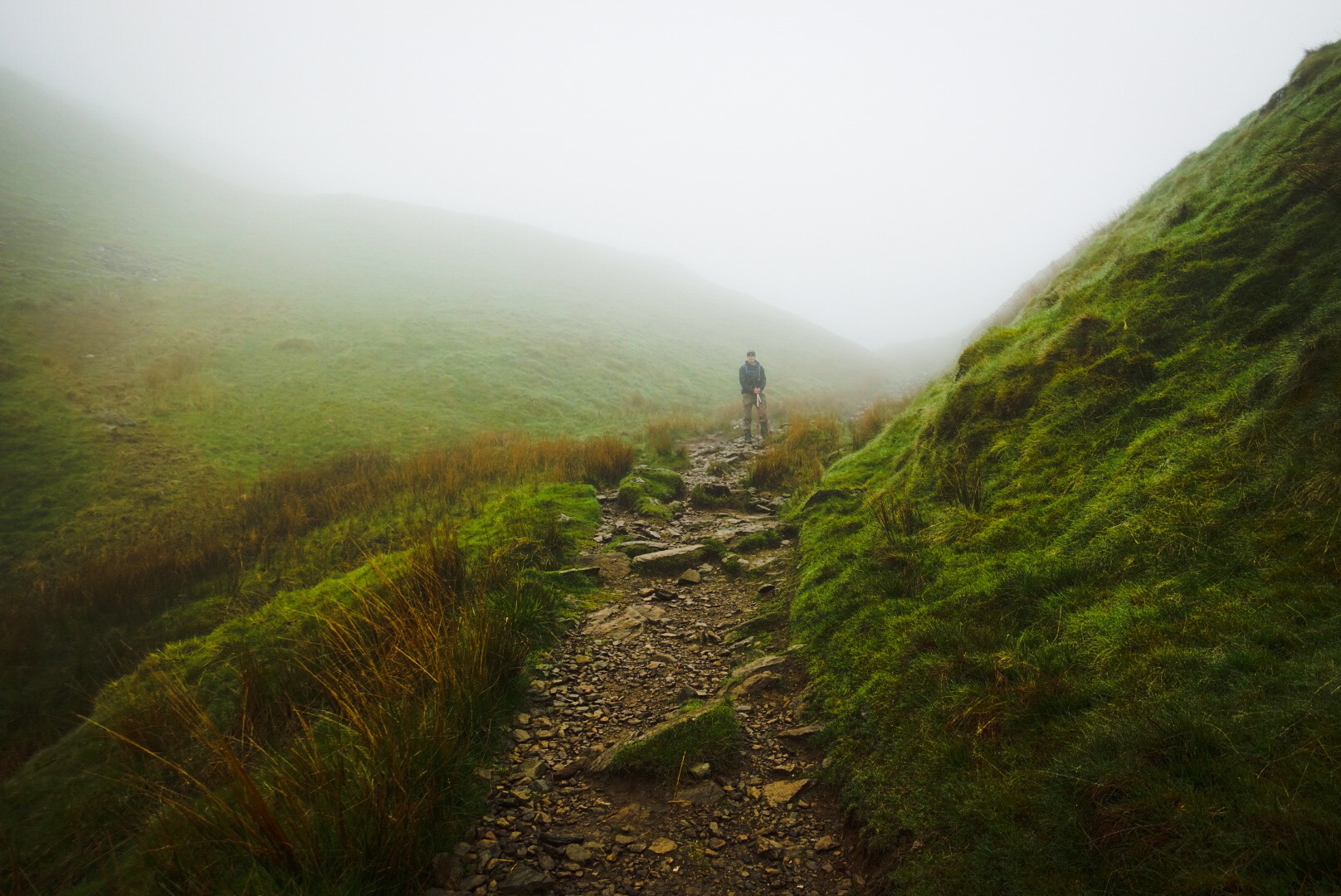
Climbing into the Fog and Mist – The Start of a 4400 ft Up-Day (and Even More Feet Down)
Day 6, our last day in the Lake District, took all of the hardest stuff from all of the Lake District, rolled it all into a ball and flung it at us. It was hard going. Joel was always ahead (longer legs and better condition may have played a role, but I don’t know). We headed steeply up and up for about 5 miles.
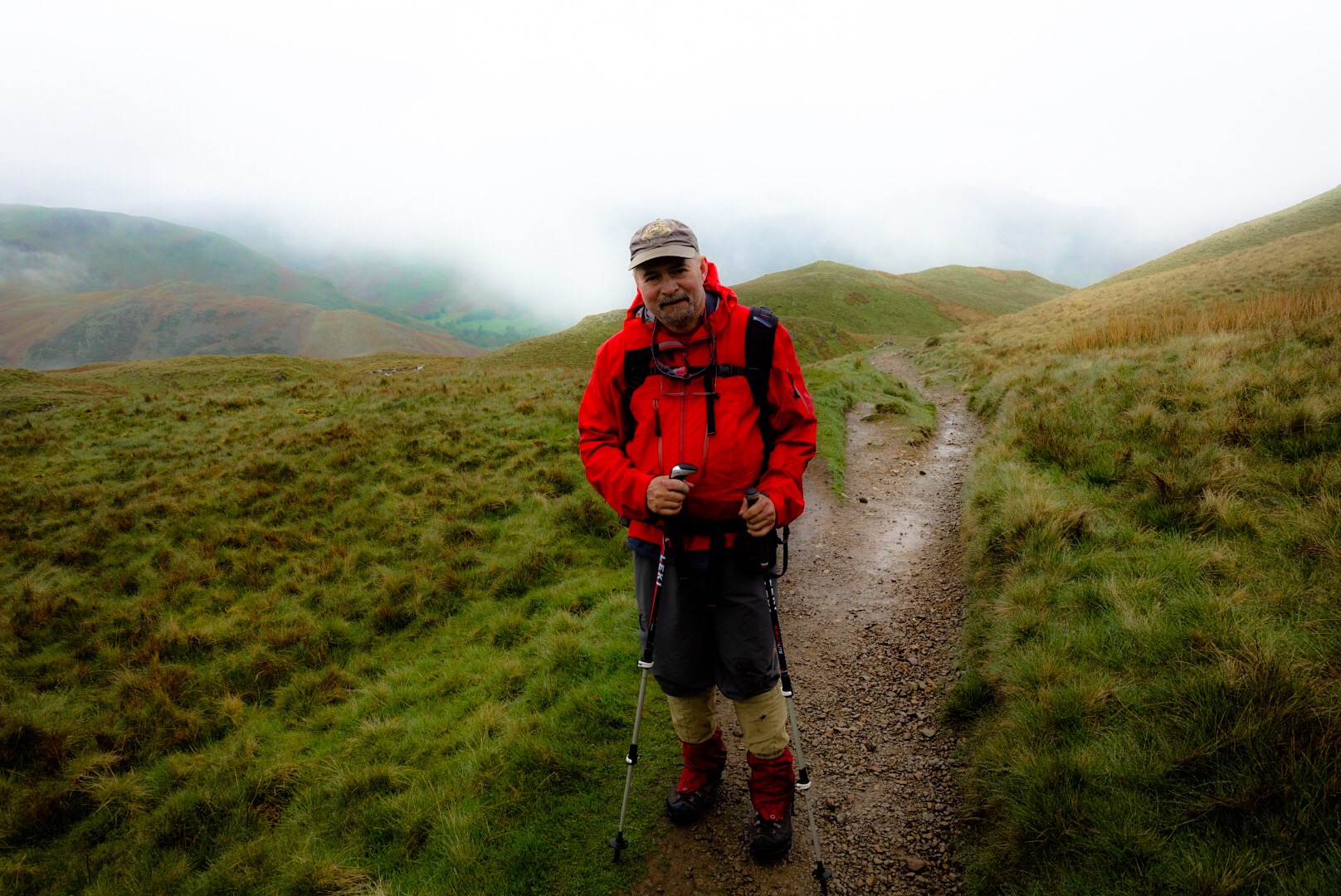
Me on the Trail Up
It was the first time on our trip when we were a little rained on. This is a bigger deal than you would think. Every person we met who knew anything about this walk was fast to mention that our luck with the weather was uncannily good. Usually, a cold rain is blowing sideways into your face on over 50% of the days. This morning was basically only a mist, and may have helped with the uphill, by keeping us a bit cool.
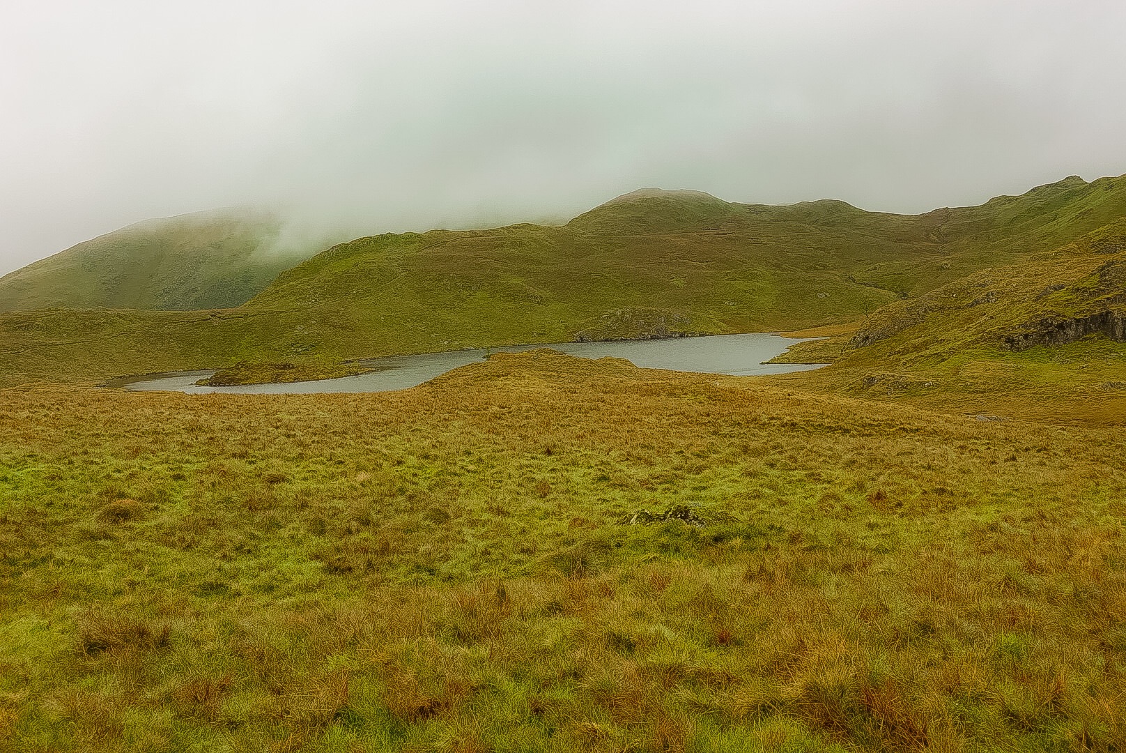
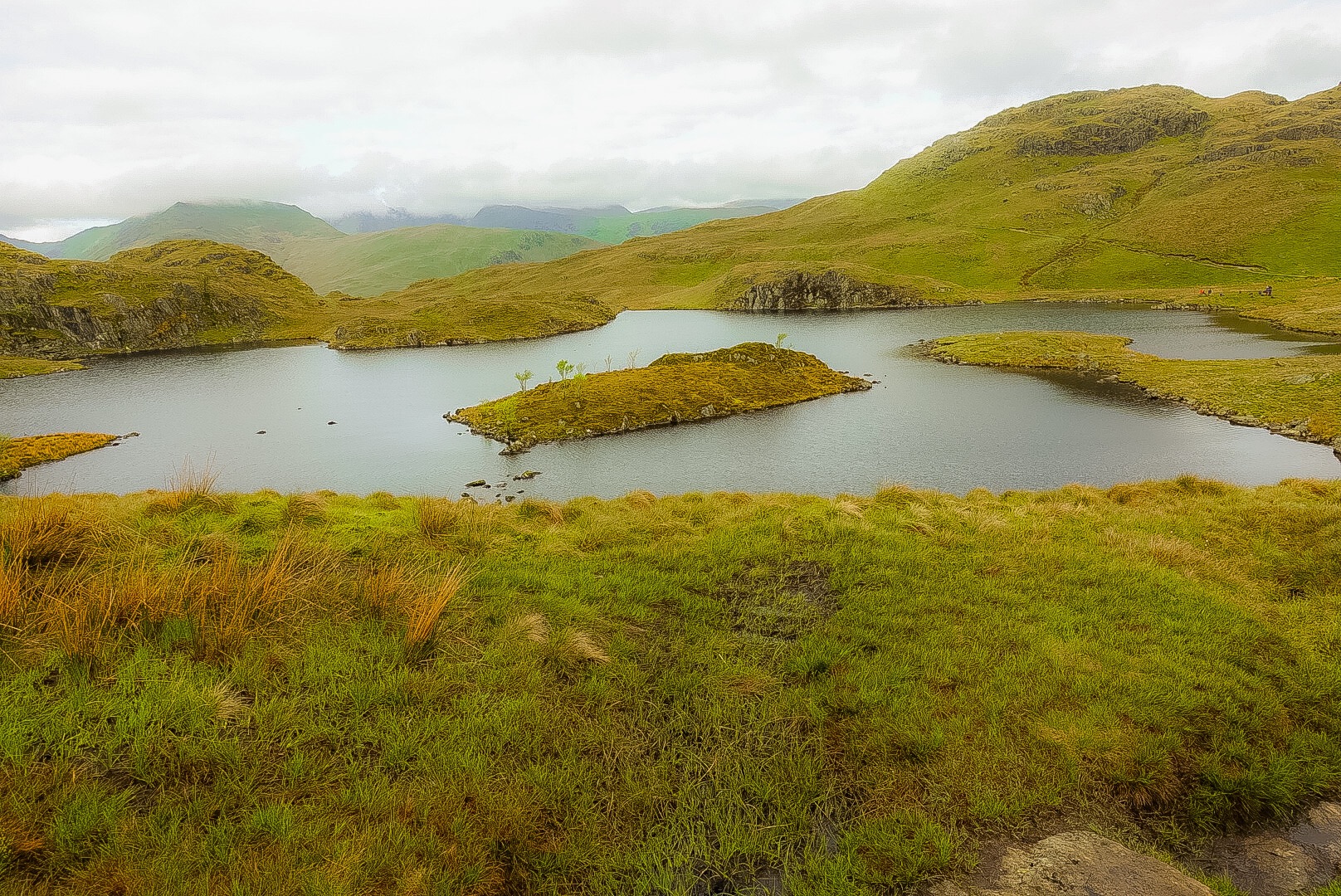
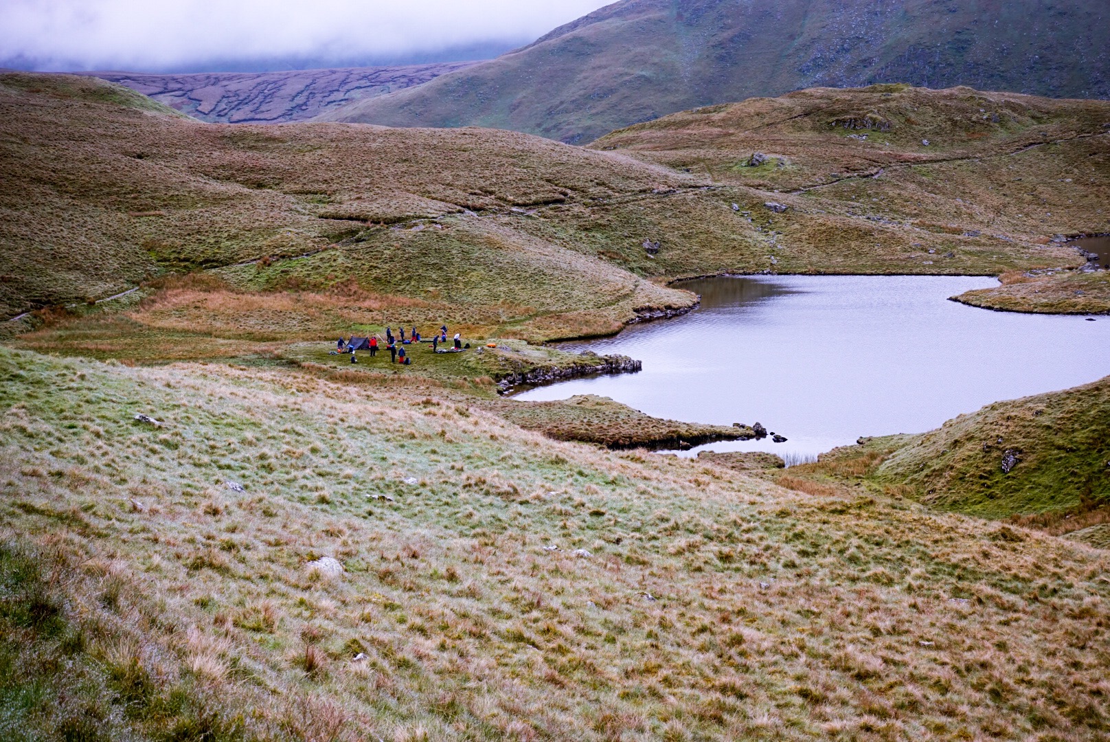
Angle Tarn, which is Nice from Every AngleAngle Tarn – New AngleAngle Tarn – New Angle – Intrepid Campers on the Banks
We walked by a tarn – small mountain lake or pond – called Angle Tarn. It is useless to figure out in England why things are called what they are called. It was pretty.
Alfred Wainwright was a fell-walker. A fell is a hill, so he was a hill-walker. This means that if he could find a bigger hill to go over as part of the Coast to Coast Walk, it went into the walk route. This first half of the day kept going up and up and up…
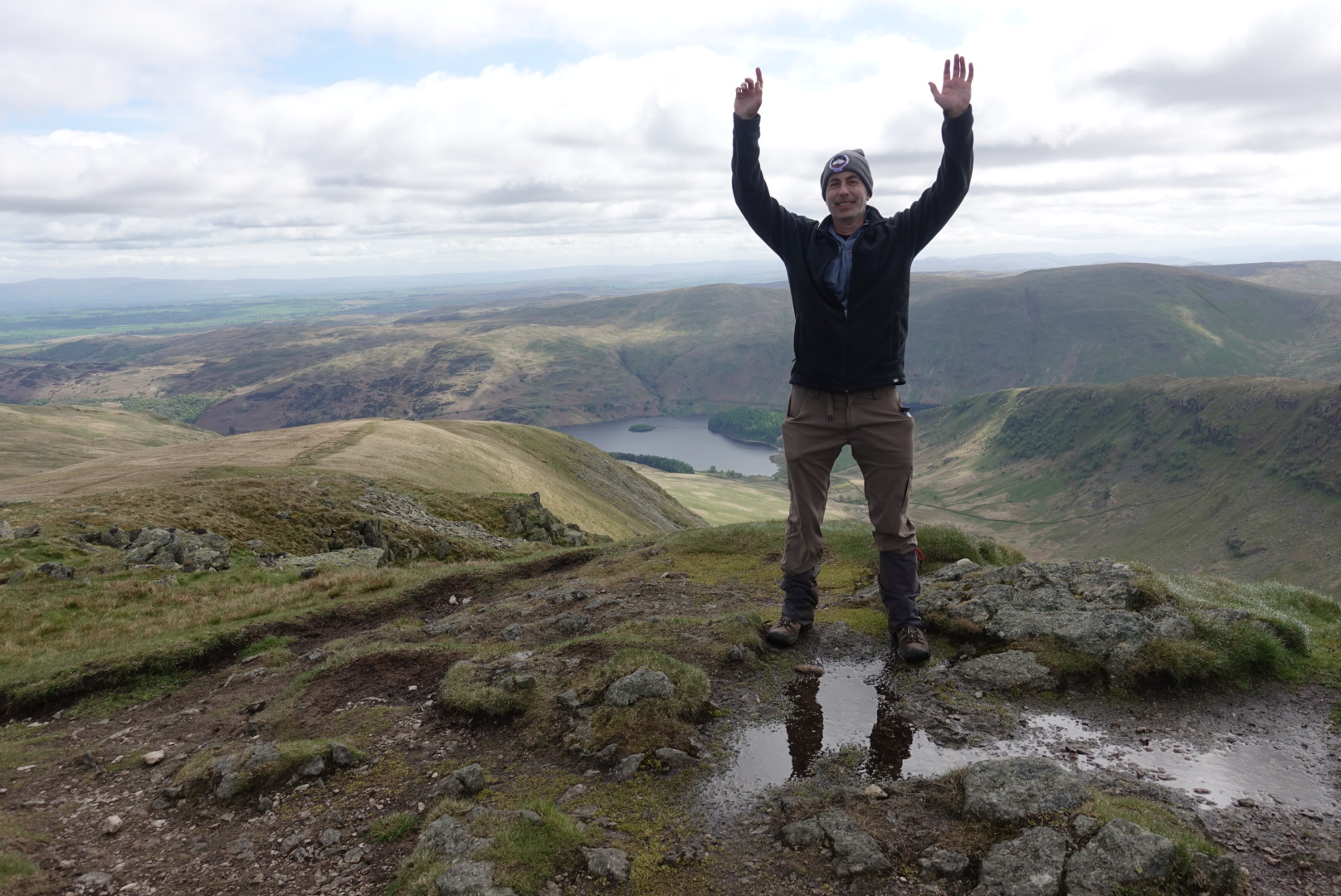
Kidsty Pike, the Top of our Big Climb up for the Day
We celebrated our summiting of Kidsty Pike with a sandwich. I have two nice “hip flasks”, but I left them accidentally at home. Otherwise, we would have celebrated with a shot of “Gipfelwasser” (Summit Water – a high potency beverage).
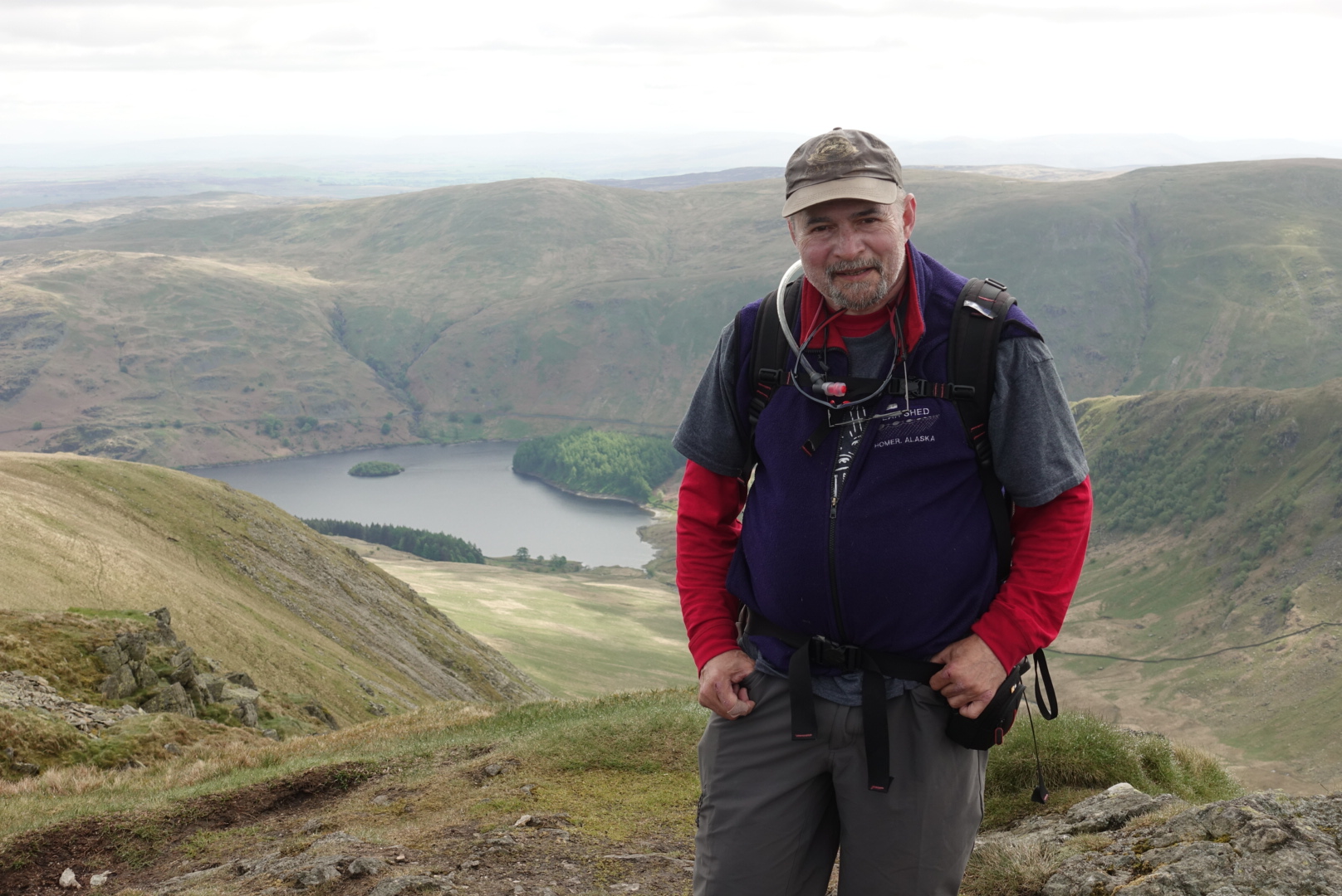
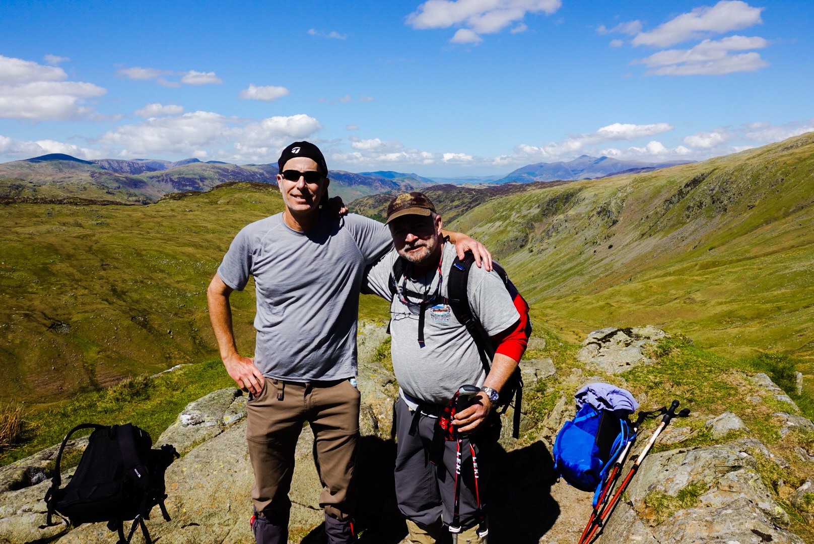
Jeff at the TopJoel at the Top
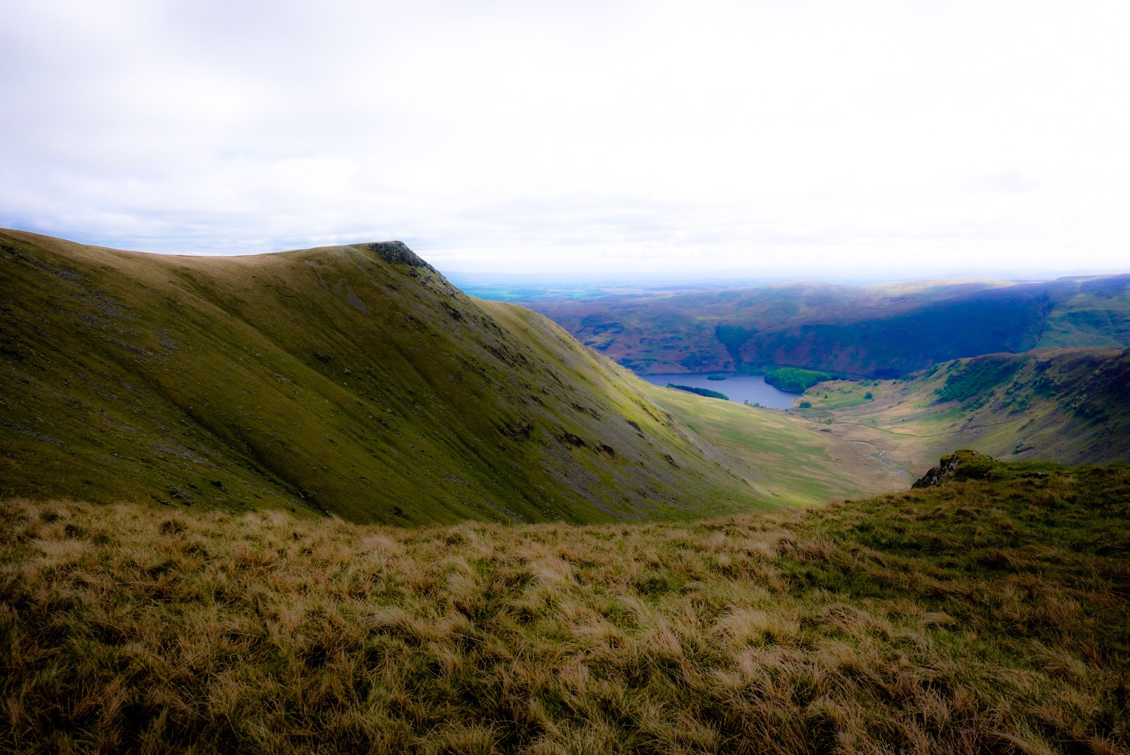
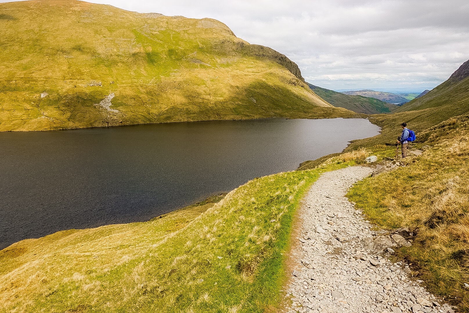
However, now, came the really hard part, dropping within 1 mile – near vertically – to that lake behind and below us – Haweswater Reservoir, a small lake which was made 30 meters deeper by a dam built in 1929, which drowned a village called Mardale Green. Oh well…
Haweswater Reservoir
The walk along the reservoir was, of course, not a stroll along a flat path on a lake shore. No, it is more rocky ups and downs the whole way down it. The bottom of my feet were screaming. My right hip felt unstable. Joel, for some odd reason, got a tremendous pain in his shoulder. With all of the obvious places you can ache on a walk like this, why a pain in the shoulder? I, at least, had pains in all of the logical places, like everywhere on my body, except my shoulders.
Waterfall with Rare Primroses, which likely you can’t pick out on the photo (to the right of the water fall).The Path Gets Flatter but I was Already Damaged
After the reservoir, the path calmed down. But, there was nearly 6 more miles to Shap. All of my muscles were protesting. Joel’s shoulder hurt, but his legs were fine. This meant that I wanted to go slow, and Joel needed to go fast, so he could get his pack off of his back a.s.a.p.! I hobbled at the fastest hobbling pace I could muster. I had basically stopped taking pictures, and, so, we stumble into Shap, our destination village for the day. We called our B&B, we didn’t know where it was, and it was on the opposite end of the village. Insult to injury! We decided to hit the nearest pub for a drink and a bit to eat, before carrying on to our B&B, which was mercifully one of the nicest we have had so far. The pub was – we learned – not the in-spot, where the Coast-to-Coasters go each day, but had a lively local crowd, who were singing songs playing on the jukebox. We were happy, and our B&B host, that evening was extremely nice and maybe a tad eccentric, which is the best combination. Joel told her that we wanted to leave before breakfast the next morning and she told him we couldn’t, we needed breakfast. Joel didn’t like Margaret for the first 5 minutes, but then was completely won over by her. We were happy to be there, but…oh, my!… a 20-mile day, the next day!
Rosgil Bridge, near Shap, and my Last Shot of the Day
Compared to yesterday, today was a cakewalk! Still, it was a big up and a big down, and rocky the whole way. Our B&B in Grasmere – which is the ritziest village in the Lake District, and one-time home of Wordsworth – was not good. I even forgot to take a photo of it – no loss.
So, I really don’t understand these paths in The Lake District, nothing but rocks. The bottoms of my feet are so sore each night. Tomorrow is our toughest walk and the day after is our longest walk. Then, we have a day off, and we are out of The Lake District and onto the Yorkshire Dales, which must be much easier on the feet. Our day off is on Friday (I mentioned Thursday a few posts ago, but found I miscalculated, sadly).
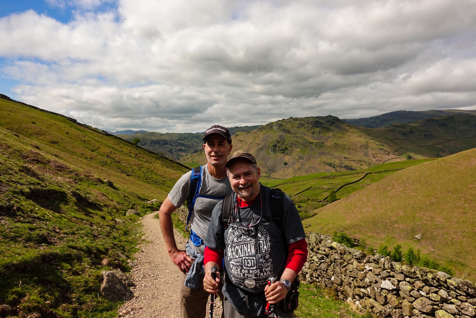
Joel and I. Behind us is where we came from. The trail is pretty civilized, so far.
Okay, tomorrow is our biggest climb and longest, most steep drop. It will be 16 miles and we are leaving super early, 6 AM, I think – ugh. The day after is our longest walk – 21 miles, but supposedly on even trails. Then, we are done with Lake District rocks.
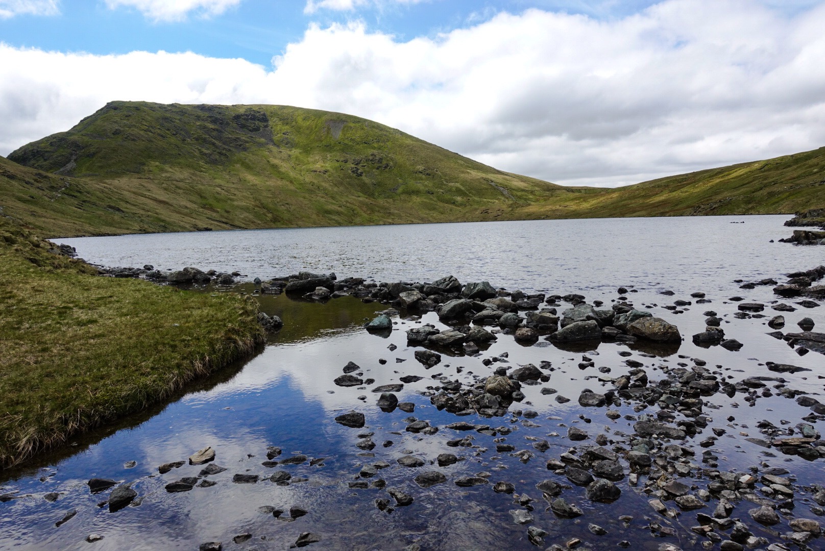
Pretty Tarn at the TopView from One End of the Tarn
Oh, let me quickly mention that, if the day of walking tomorrow gets too long, I may not report tomorrow evening. I will be okay, I just don’t want to worry anyone. We will likely need to get out again early on Thursday for the 21 mile walk. These next 2 days are going to be grueling. I will try to write, but I don’t know if I will have the time or strength!
They call this elongated pile of rocks a trail!
Joel and I rescued a lamb that got out of its pasture and couldn’t get back in, because of a fence. We are proud of ourselves, for sure.
Joel and I Rescued a Baby Lamb, now Rejoined with Mama!
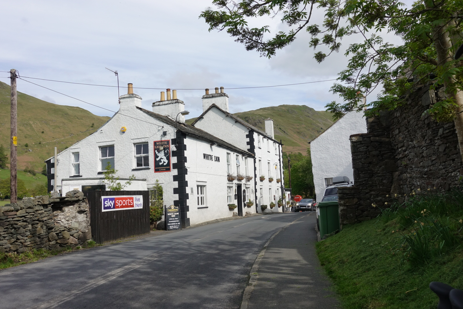
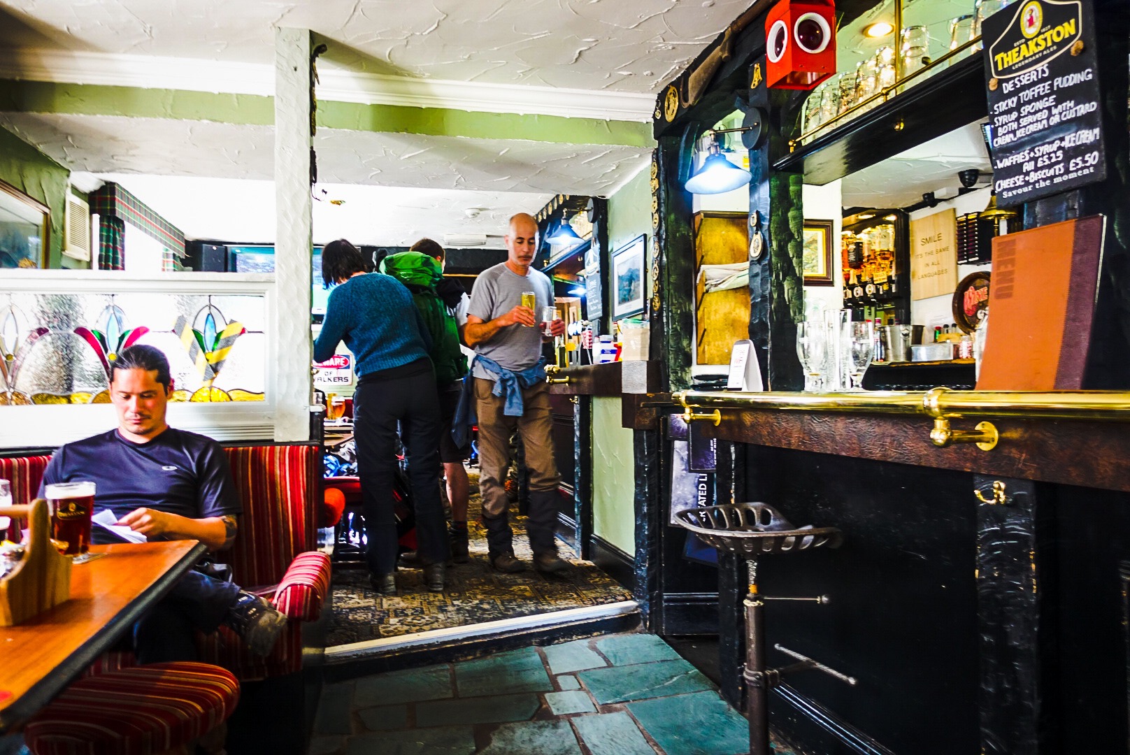
After rescuing the lamb we basically just walked down The valley for another 5 miles into our next overnight village of Pattersday. We spied the White Lion Pub, which we have been hearing about for days from other Coast to Coasters, and they were all there! Also, Alfred Wainwright, inventor of the walk, drank there!
The White Lion Pub in Pattersdale – A Sight for Sore Eyes!Joel Bringing Refreshment at the White Lion
Now, I need to sleep. I have to get up in about 6 hours. I actually CHOSE this vacation! Can’t believe it!
Well, I will try to write tomorrow, if I can. Anyway, for now, g’nite!
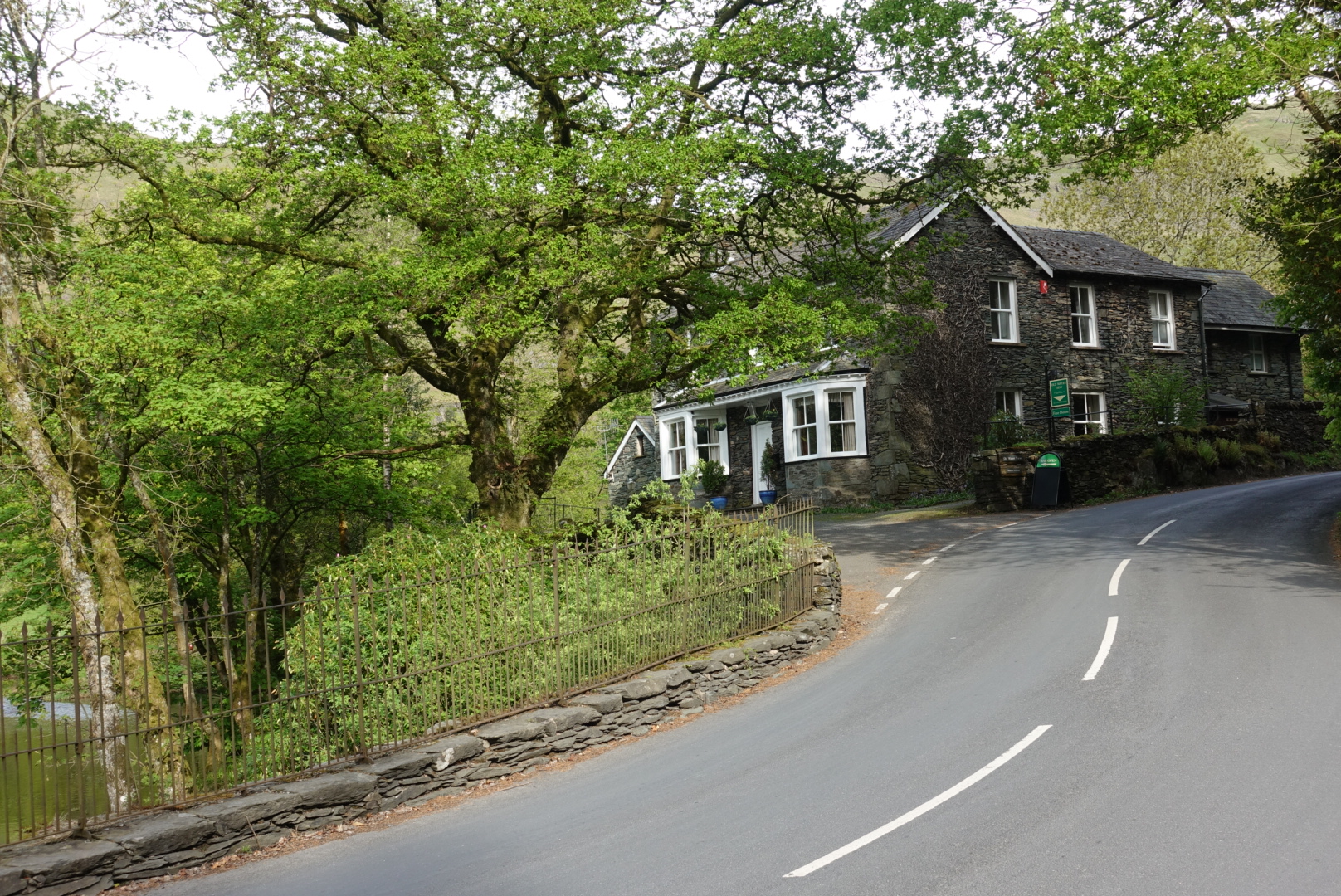
The Old Water View – Our B&B Tonight, Where Alfred Wainwright – Designer of the Coast to Coast Walk – also Stayed.
Today, we climbed up a big ridge, and then made a wrong turn and went a high route to Grasmere rather than a valley route. It added about 3 hours to our day, and I am whipped.
So, my post today will be a bit different. i am going to write these couple paragraphs, and then add pictures with captions, then go to bed. Maybe, I can catch up the day later, but, in summary, it was nothing but steep up and down rock scrambles, and everything hurts and I need sleep! So, here comes a series of photos from the day…
Morning start on the Coast to Coast Trail.We have to go over that ridge – Green Up Edge. Ugh!Memento Mori on the Trail!First Big Rock Scramble – First of Many Today!Joel conferring with Chris, who has, so far, climbed 170 of the 215 peaks in the Lake District!Joel and I at our highest point of the day, when I, actually, still felt fit! That would change.I didn’t take many photos since the last one, because I was too miserable. However, I did snap this one of Lake Grasmere in the distance. We needed to make it there!