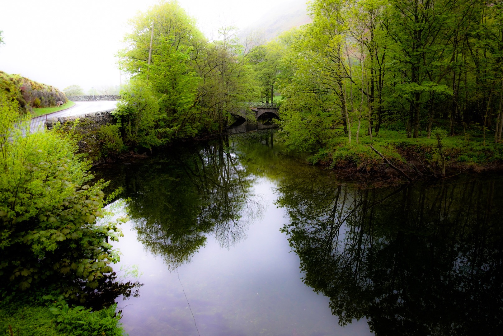
You will notice that no post came out after Day 6, when Day 6 really ended. But, I suggested at the end of Day 5 that I might not be able to get to it, because Day 6 was going to be, likely, our hardest day, and Day 7 our longest. Well, I had to skip writing a post at the end of Day 7, too. I am on our rest day catching up.
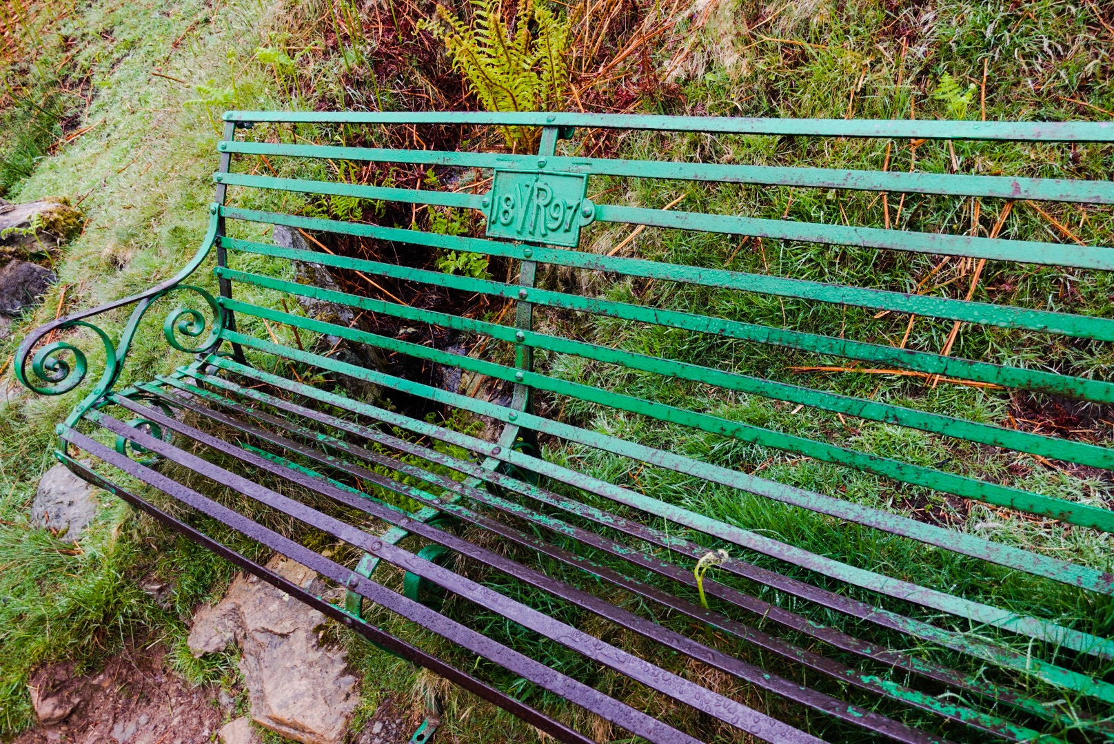
Well, the good news is that we are now through the hardest day and through the longest day, and we are on our rest day in Nateby, outside of Kirkby Stephen, an old market town. The two days were hard and this rest day is placed well to maybe, at least, partly recover. But, I am ahead of myself. This post is about Day 6, the hard day, and I may put out 2 more posts today, if I can – Day 7 and Day 8, the rest day. You can savor them by spreading them out over a couple of days, or you can open a nice bottle of wine and binge read them!
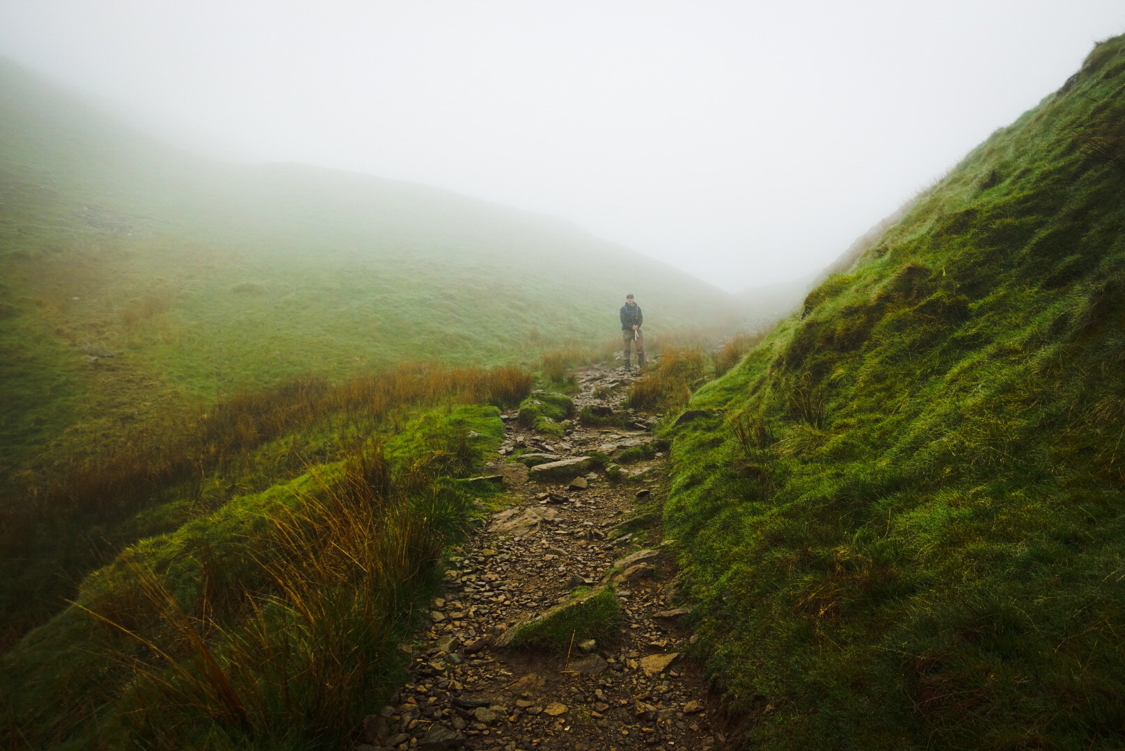
Day 6, our last day in the Lake District, took all of the hardest stuff from all of the Lake District, rolled it all into a ball and flung it at us. It was hard going. Joel was always ahead (longer legs and better condition may have played a role, but I don’t know). We headed steeply up and up for about 5 miles.
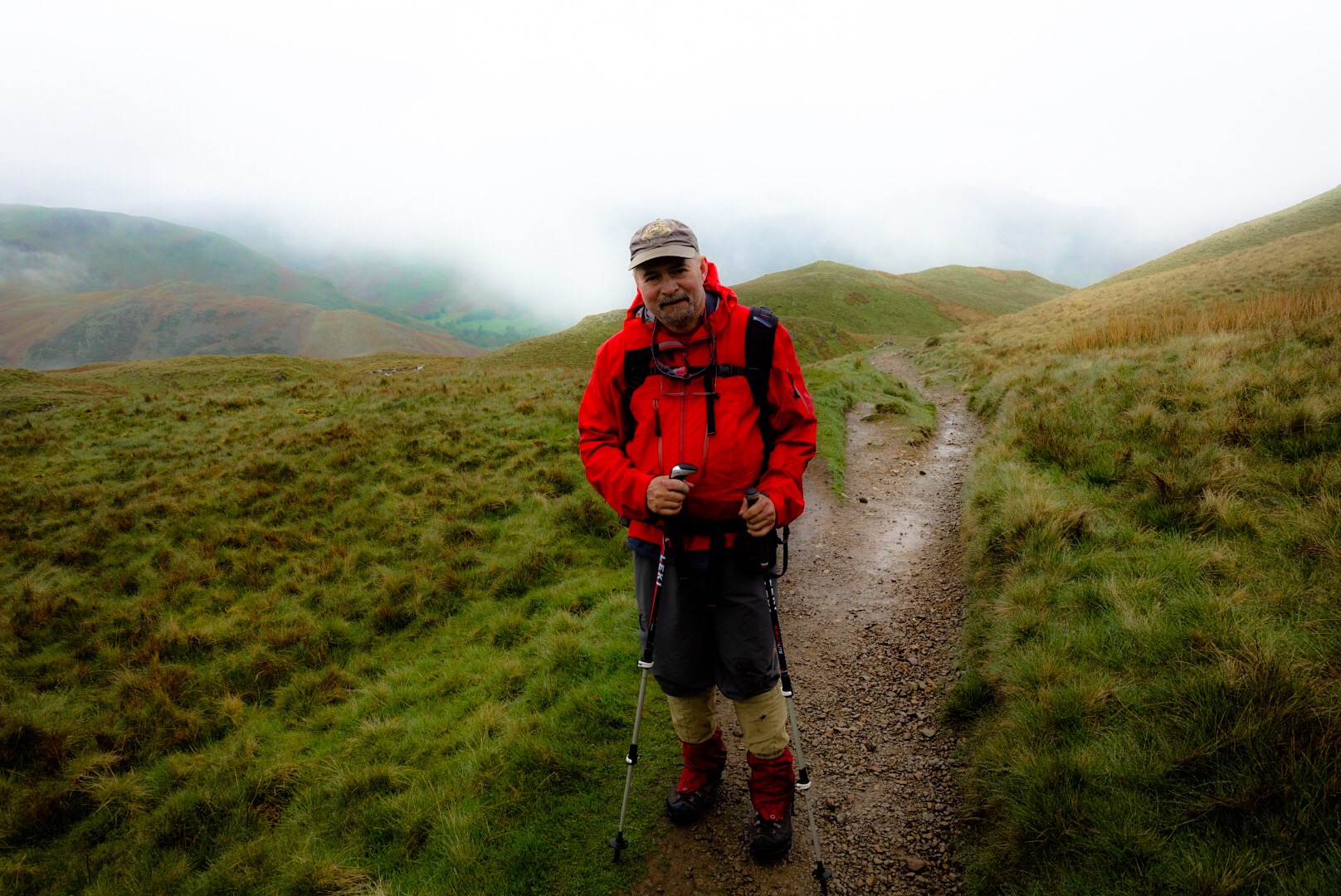
It was the first time on our trip when we were a little rained on. This is a bigger deal than you would think. Every person we met who knew anything about this walk was fast to mention that our luck with the weather was uncannily good. Usually, a cold rain is blowing sideways into your face on over 50% of the days. This morning was basically only a mist, and may have helped with the uphill, by keeping us a bit cool.
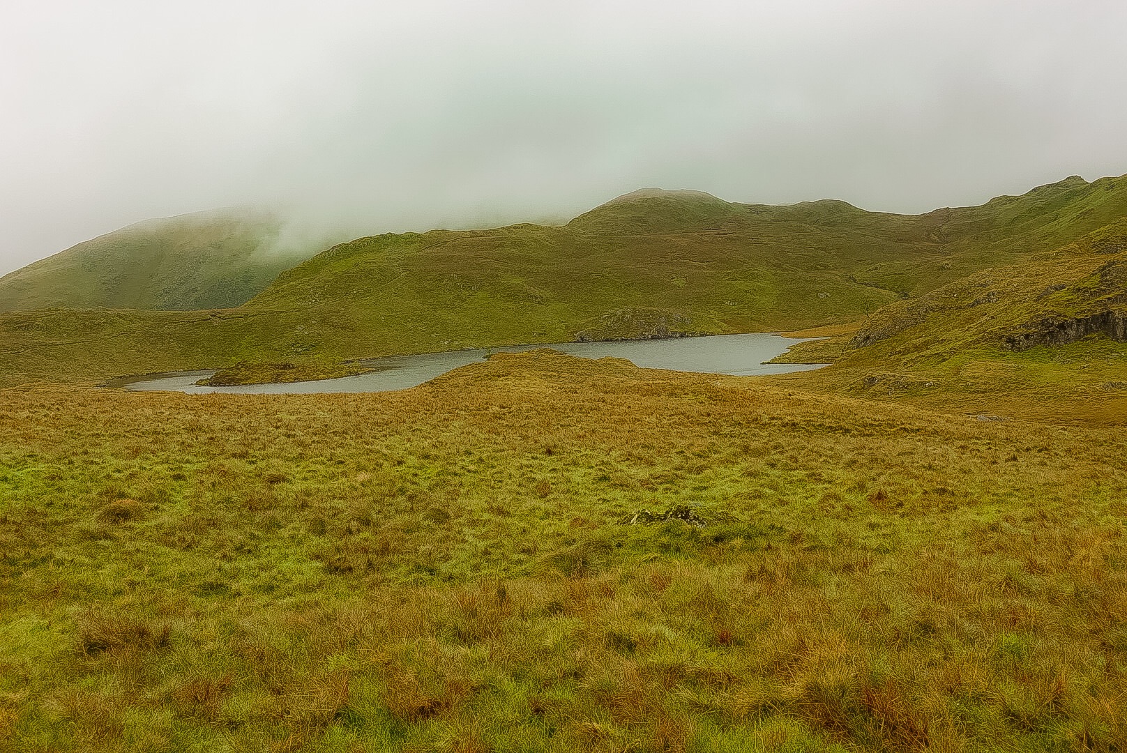
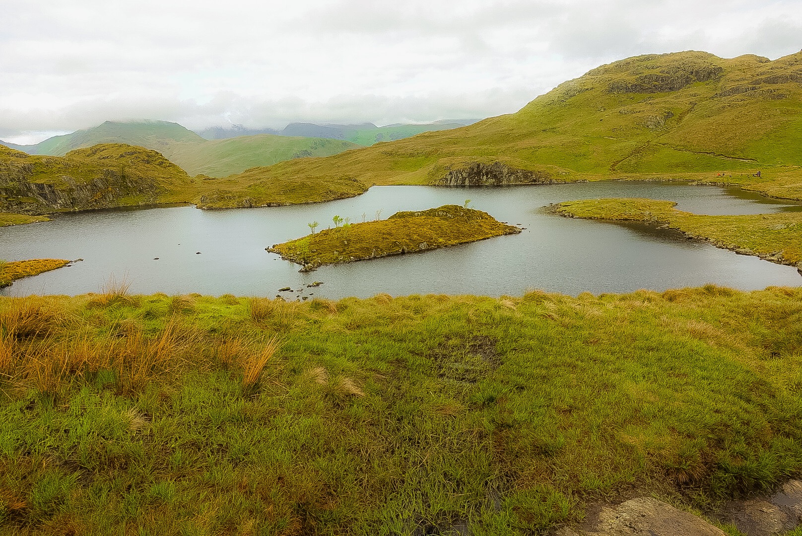
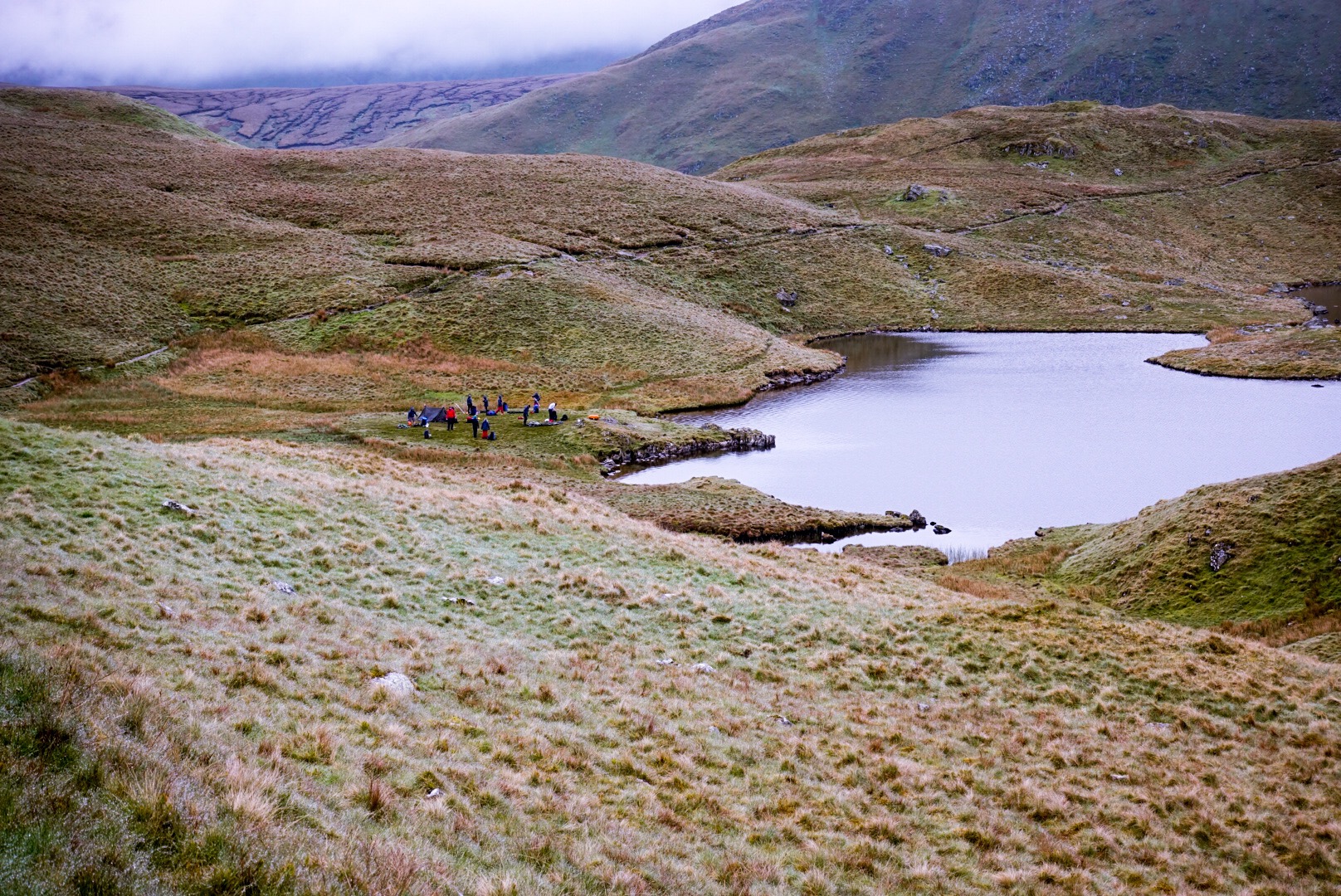
We walked by a tarn – small mountain lake or pond – called Angle Tarn. It is useless to figure out in England why things are called what they are called. It was pretty.
Alfred Wainwright was a fell-walker. A fell is a hill, so he was a hill-walker. This means that if he could find a bigger hill to go over as part of the Coast to Coast Walk, it went into the walk route. This first half of the day kept going up and up and up…
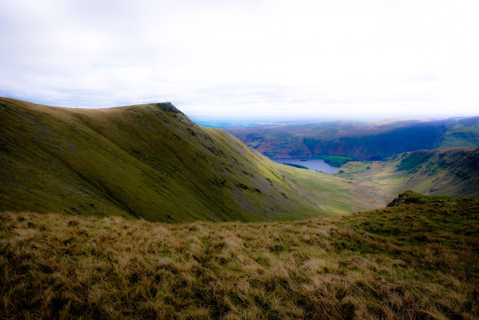
We celebrated our summiting of Kidsty Pike with a sandwich. I have two nice “hip flasks”, but I left them accidentally at home. Otherwise, we would have celebrated with a shot of “Gipfelwasser” (Summit Water – a high potency beverage).
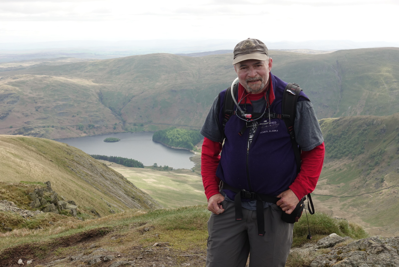
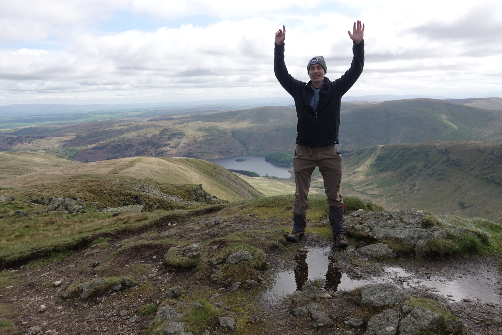
However, now, came the really hard part, dropping within 1 mile – near vertically – to that lake behind and below us – Haweswater Reservoir, a small lake which was made 30 meters deeper by a dam built in 1929, which drowned a village called Mardale Green. Oh well…
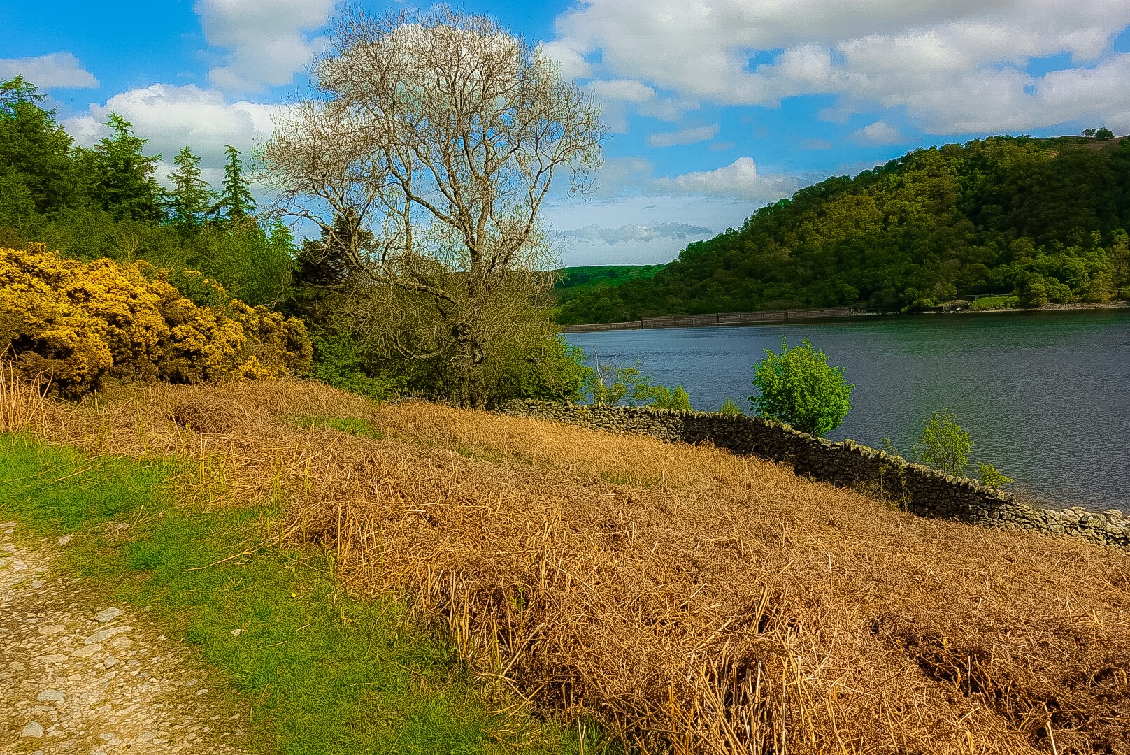
The walk along the reservoir was, of course, not a stroll along a flat path on a lake shore. No, it is more rocky ups and downs the whole way down it. The bottom of my feet were screaming. My right hip felt unstable. Joel, for some odd reason, got a tremendous pain in his shoulder. With all of the obvious places you can ache on a walk like this, why a pain in the shoulder? I, at least, had pains in all of the logical places, like everywhere on my body, except my shoulders.
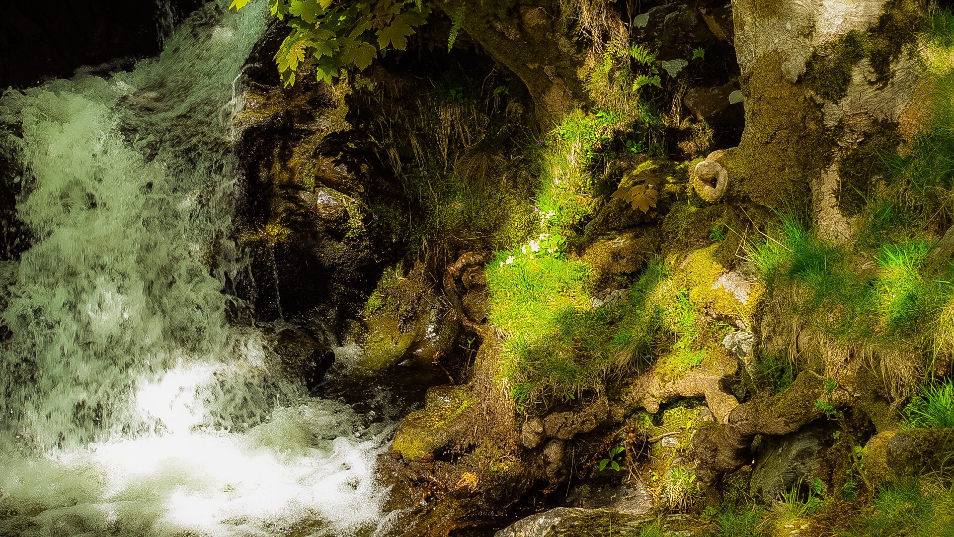
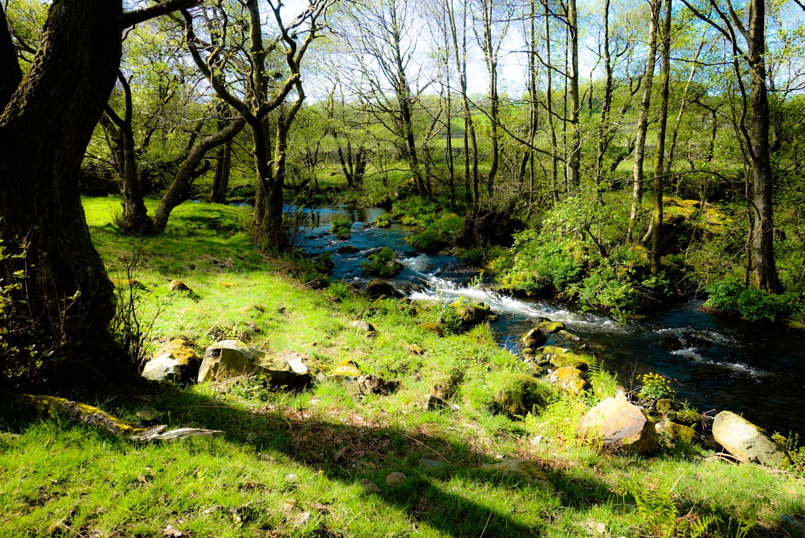
After the reservoir, the path calmed down. But, there was nearly 6 more miles to Shap. All of my muscles were protesting. Joel’s shoulder hurt, but his legs were fine. This meant that I wanted to go slow, and Joel needed to go fast, so he could get his pack off of his back a.s.a.p.! I hobbled at the fastest hobbling pace I could muster. I had basically stopped taking pictures, and, so, we stumble into Shap, our destination village for the day. We called our B&B, we didn’t know where it was, and it was on the opposite end of the village. Insult to injury! We decided to hit the nearest pub for a drink and a bit to eat, before carrying on to our B&B, which was mercifully one of the nicest we have had so far. The pub was – we learned – not the in-spot, where the Coast-to-Coasters go each day, but had a lively local crowd, who were singing songs playing on the jukebox. We were happy, and our B&B host, that evening was extremely nice and maybe a tad eccentric, which is the best combination. Joel told her that we wanted to leave before breakfast the next morning and she told him we couldn’t, we needed breakfast. Joel didn’t like Margaret for the first 5 minutes, but then was completely won over by her. We were happy to be there, but…oh, my!… a 20-mile day, the next day!
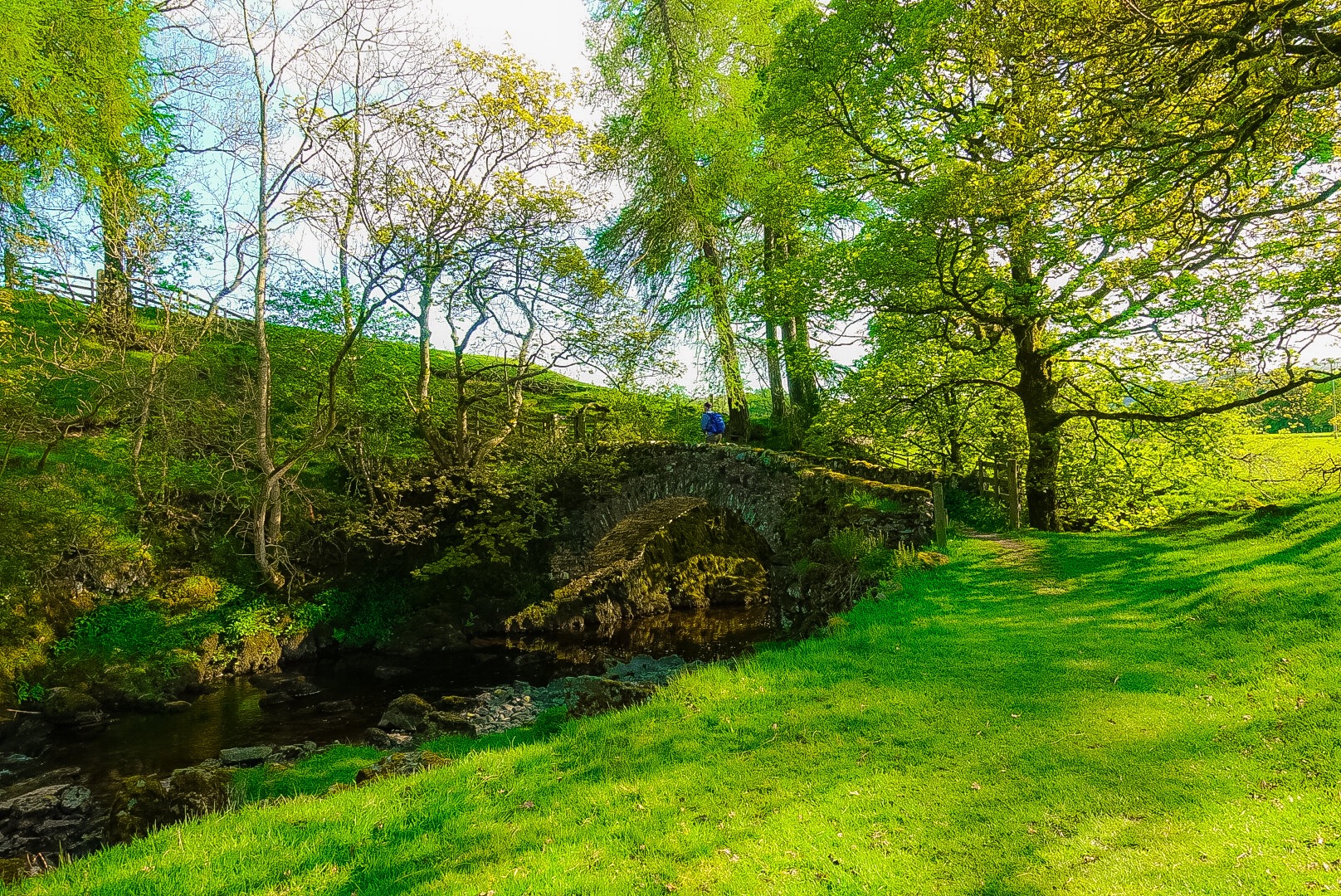

These are such beautiful pictures dad! Especially the one with the caption “Kidsty Pike, the Top of our Big Climb up for the Day”. Was looking forward to your post the past two days.
Thanks Julia! I am going to text or call you today or tomorrow!
How could you forget your flasks!!!
I didn‘t forget them, but I couldn‘t find them! They are somewhere. I have a double-shot bottle of the Lake District‘s only single malt. That will be drunk on the shore of the North Sea at Robin Hood‘s Bay!